What is recorded here
In pasture, located on a low, level elevation, bordered to W and N by wet pasture and overlooked c. 100m to N by a ridge of higher ground. Located at the S end of a broad peninsula of pasture and sand dunes that extends N into Kilalla Bay and is bordered to W by the estuary of the Palmerstown River.
This building is not shown on the 1838 and 1922 OS 6-inch map. When first recorded in 2010 it consisted of a low, grass-covered sub-rectangular platform (c. 12-14m NNE-SSW; c. 10m WNW–ESE) defined on the W and S sides by a contiguous setting of large stones, which appeared to represent wall footings. It was subsequently levelled during land reclamation activities.
According to local tradition, there was castle in this area. A field across the road immediately to S, now an expanse of featureless pasture, has traditionally been known as the ‘Castle field’, possibly associated with a castle (MA015-065001-) and settlement (MA015-065002-), which is listed in the Stafford Inquisition of Co. Mayo as "...the castle, town and lands of Rosse commonly called Rosse Mc Paddin..." (O'Sullivan (ed.) 1958, 153).
Compiled by: Jane O’Shaughnessy
Date of upload: 13 December 2018
The monument record does not grant public access. Check the route and ask the landowner before entering private land.
- What survives
- Recorded monument
Places near here
 IndicatedFairy fort / earthen ringfort · 477 yd
 RathmoreFairy fort / earthen ringfort · 696 yd
 Rinnaun PointHeadland · 1226 yd
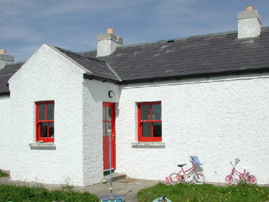 Ross Coastguard Stationcoastguard station · 1535 yd
 Green IslandIslet · 1.0 mi
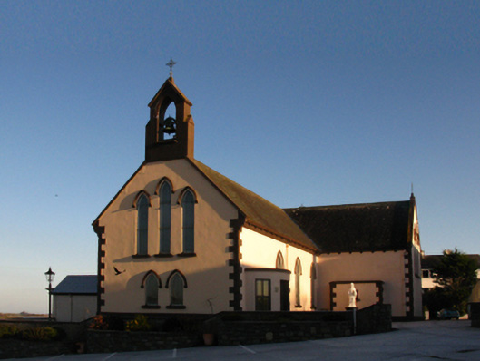 Saint Patrick's Catholic Churchchurch/chapel · 1.1 mi
 Battle of Killalabattle · 1.2 mi
 CastleCastle, unclassified · 1.3 mi
 CastlenageehaCastle, unclassified · 1.8 mi
 TrabaunBeach / strand · 2.1 mi
 Battlefields of MoyneBattlefield · 2.1 mi
 Bartragh IslandIsland · 2.5 mi