What is recorded here
The Down Survey (1655-6) map shows a building in the NE part of the townland formerly known as 'Stradebally' (Clinton, M.2005, 60). Not precisely located.
Compiled by: Geraldine Stout
Date of upload: 26 August 2011
The monument record does not grant public access. Check the route and ask the landowner before entering private land.
- What survives
- Recorded monument
Places near here
 Mound in NewbarnMound · 437 yd
 MoatFairy fort / ringfort · 529 yd
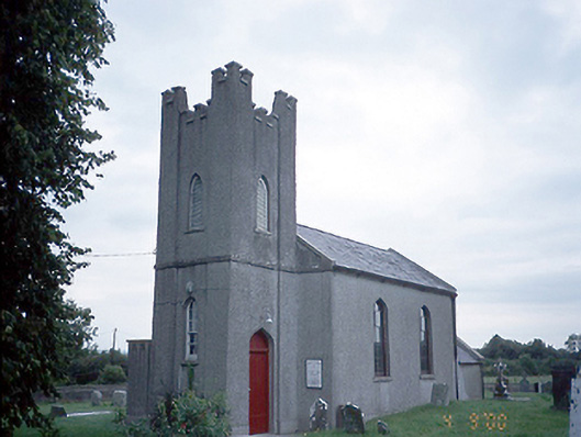 Saint David's Church (Kilsallaghan)church/chapel · 1224 yd
 CastleCastle, tower house · 1289 yd
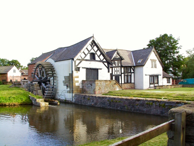 Water millWater mill, unclassified · 1382 yd
 Graveyard in KillosseryGraveyard · 1397 yd
 Wooly Ward's FarmHeritage attraction · 1.7 mi
 Freedagh MoatCastle, motte · 1.7 mi
 AshbourneMemorial · 2.6 mi
 St Cronans WellSpring · 3.6 mi
 The JackoWood · 4.0 mi
 St. John's WellSpring · 4.1 mi