What is recorded here
Unlocated pre-1700 buildings that are shown on a 17th centuryDe Renzi map (Loeber 1988, vol. 3, 53).
The above description is derived from the published 'Archaeological Inventory of County Offaly' (Dublin: Stationery Office, 1997). In certain instances the entries have been revised and updated in the light of recent research.
Date of upload: 23 May 2011
The monument record does not grant public access. Check the route and ask the landowner before entering private land.
- What survives
- Recorded monument
Places near here
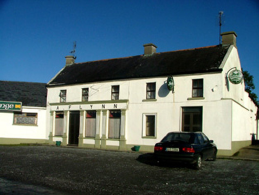 A. Flynnhouse · 374 yd
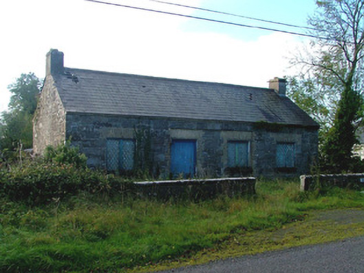 Liss National Schoolschool · 612 yd
 Partially indicatedCrannog · 1545 yd
 BarrowBarrow, ring-barrow · 1599 yd
 Castle ArmstrongHouse, fortified house · 1.2 mi
 Inchaloon IslandIslet · 1.3 mi
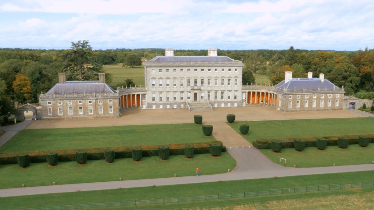 Bawn in Castletown (ballycowan By.)Bawn · 1.7 mi
 European ashEuropean ash · 2.7 mi
 Clara Bog BoardwalkHeritage attraction · 3.1 mi
 Cocta HillMountain / peak · 4.2 mi
 Moate HillMountain / peak · 4.8 mi
 The Bob Traynor GalleryGallery · 5.0 mi