
What is recorded here
The Down Survey (1655-6) map show a dwelling in the vicinity of Newpark and Galloping Green. Not precisely located.
Compiled by: Geraldine Stout and Padraig Clancy
Revised upload on: 6 July 2018
The monument record does not grant public access. Check the route and ask the landowner before entering private land.
- What survives
- Recorded monument
Places near here
 Nature TrailVisitor information · 430 yd
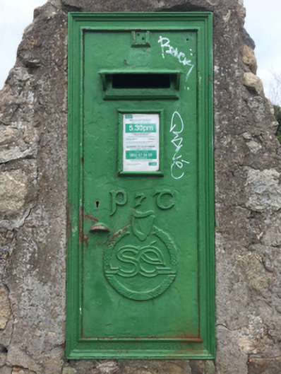 post boxpost box · 452 yd
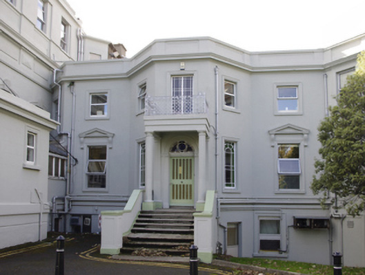 National Rehabilitation Hospitalhouse · 515 yd
 IADT SignMonument · 700 yd
 Burial in Monkstown CastlefarmBurial · 881 yd
 Castle (in ruins)Castle, tower house · 1373 yd
_-_geograph.org.uk_-_5029145.jpg?width=1280) Bawn in Monkstown CastlefarmBawn · 1382 yd
Bawn in Monkstown CastlefarmBawn · 1382 yd Monkstown CastleHeritage attraction · 1383 yd
 Graveyard in Monkstown HousefarmGraveyard · 1498 yd
 Brian NolanHeritage attraction · 1598 yd
 Dalkey Heritage TownVisitor information · 1.0 mi
 Christ the KingMemorial · 1.2 mi
Other information
Photo: Credit not shown in the picture search · Rights wording not checked; contact us if this picture should be removed