What is recorded here
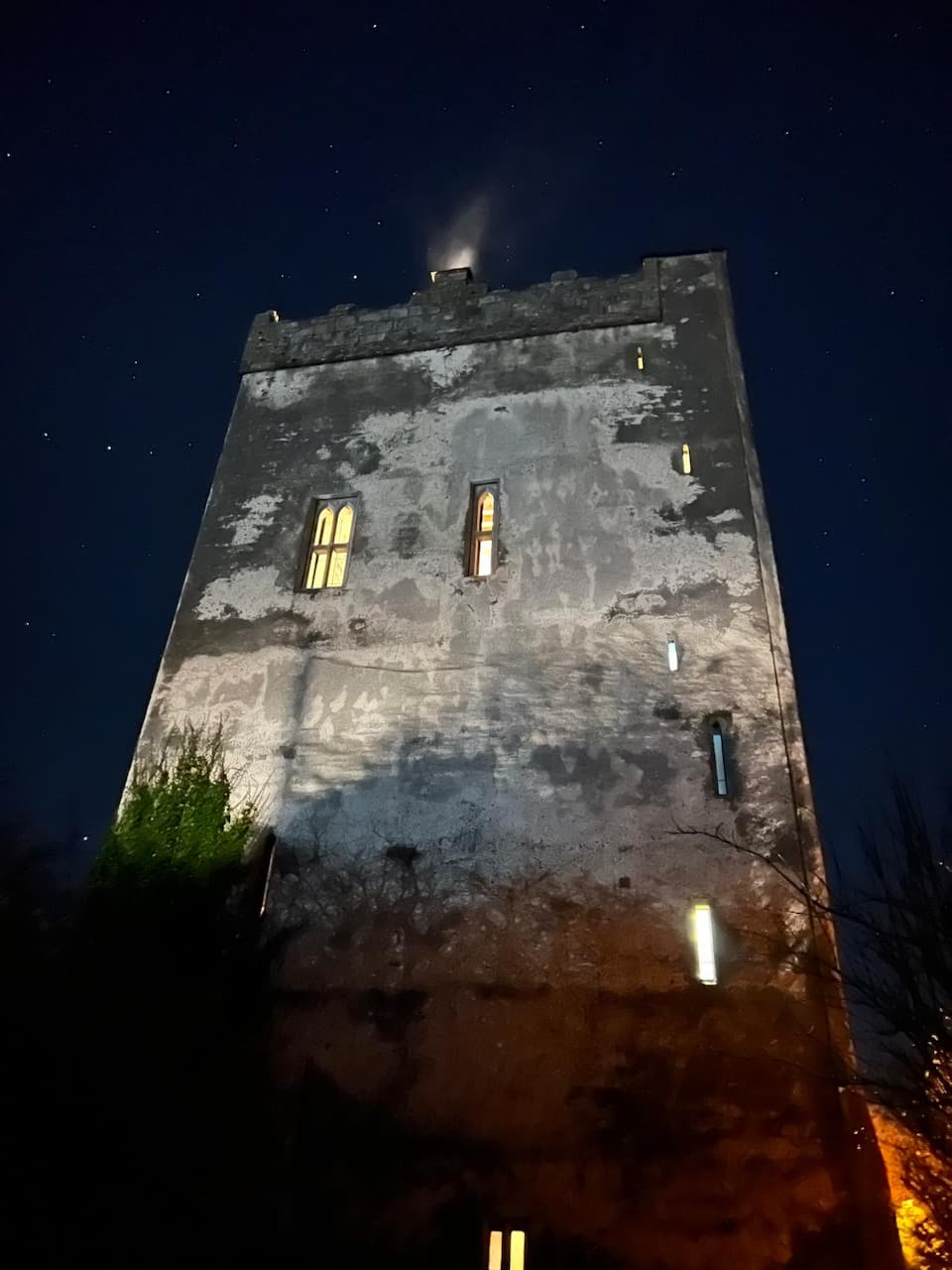
In low-lying terrain, c. 9m NW of Fortane More towerhouse (CL027-036----). A long rectangular building (int. dims. 20.4m SW-NE; 9m NW-SE; ext. dims. 22.5m SW-NE; 11.4m NW-SE) defined by the remains of wall foundations (H generally 0.1-0.5m) best preserved at SE, SW and NW (H 0.4m). These comprise an inner and outer kerbing of stones with a rubble core, best preserved at SE (Wth 1.2m). There is an entrance gap (Wth 2.7m) in the N half of the NW wall. The NE wall is reduced to rubble. A SW-NE field bank extends NE from the NW wall and another abuts this at right angles. The location and size of the building suggest it was associated with the tower house and stone for both appears to have been quarried locally. A natural platform (13m x 8m) c. 20m to the W could have served as a house platform.
Compiled by: Mary Tunney and Ines Hagen
Date of upload: 17 December 2018
The monument record does not grant public access. Check the route and ask the landowner before entering private land.
- What survives
- Recorded monument
Places near here
 Castle (in ruins)Castle, tower house · 17 yd
 Lecarrow FortEnclosure · 1326 yd
 Castle (Site of)Castle, tower house · 1454 yd
 IndicatedEnclosure · 1628 yd
 Derrymore Housegate lodge · 1.3 mi
 St Mochullas Ch (in RuinsChurch · 2.7 mi
 The StablesGallery · 3.1 mi
 DoonHeritage attraction · 4.5 mi
 Deerpark WoodForest · 4.9 mi
 Calluragh WoodForest · 5.3 mi
 Cloghleagh RockNamed rock · 5.5 mi
 Enclosure in Ayle LowerEnclosure · 1660 yd