What is recorded here
Archaeological testing and a building assessment (99E0706) of a structure on the N side of Parnell St. identified traces of two timber-frame buildings (WA031-040017-), but the N gable wall from a later masonry building was incorporated into the N wall of a 19th century grain-store. This wall (L c . 6.5m; H c. 5m) had no surviving original features, apart from good quoinstones at the NE angle, but the building could be 17th century in date. Part of its W wall was recovered in testing, showing that the building was at least 14m long. (Pollock 2000d, 1-5, 14; 2002d)
Pollock, D. (2000d) Archaeological site assessment of Moloneys store, Parnell Street/ Thompsons Lane, Dungarvan, Co. Waterford. Licence: 99E0706. Unpublished report. Author.
Pollock, D. (2002d) Moloney's store, Parnell Street, Dungarvan: Urban post-medieval/medieval. In I. Bennett (ed.) Excavations 2000. summary account of excavations in Ireland, 33?, No. 988. Wordwell. Bray.
Compiled by: Michael Moore. Date of upload: 25th August, 2011.
The monument record does not grant public access. Check the route and ask the landowner before entering private land.
- What survives
- Recorded monument
Places near here
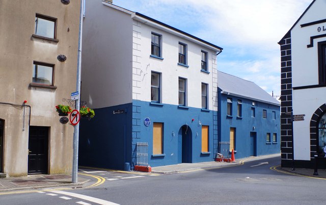 store/warehousestore/warehouse · 4 yd
 Park Househouse · 26 yd
 Dungarvan World War I MemorialMemorial · 40 yd
 Dungarvan Castle (in Ruins)Castle, Anglo-Norman masonry castle · 75 yd
 Dungarvan CastleCastle · 76 yd
 Structure in DungarvanStructure · 154 yd
 Waterford County MuseumMuseum · 167 yd
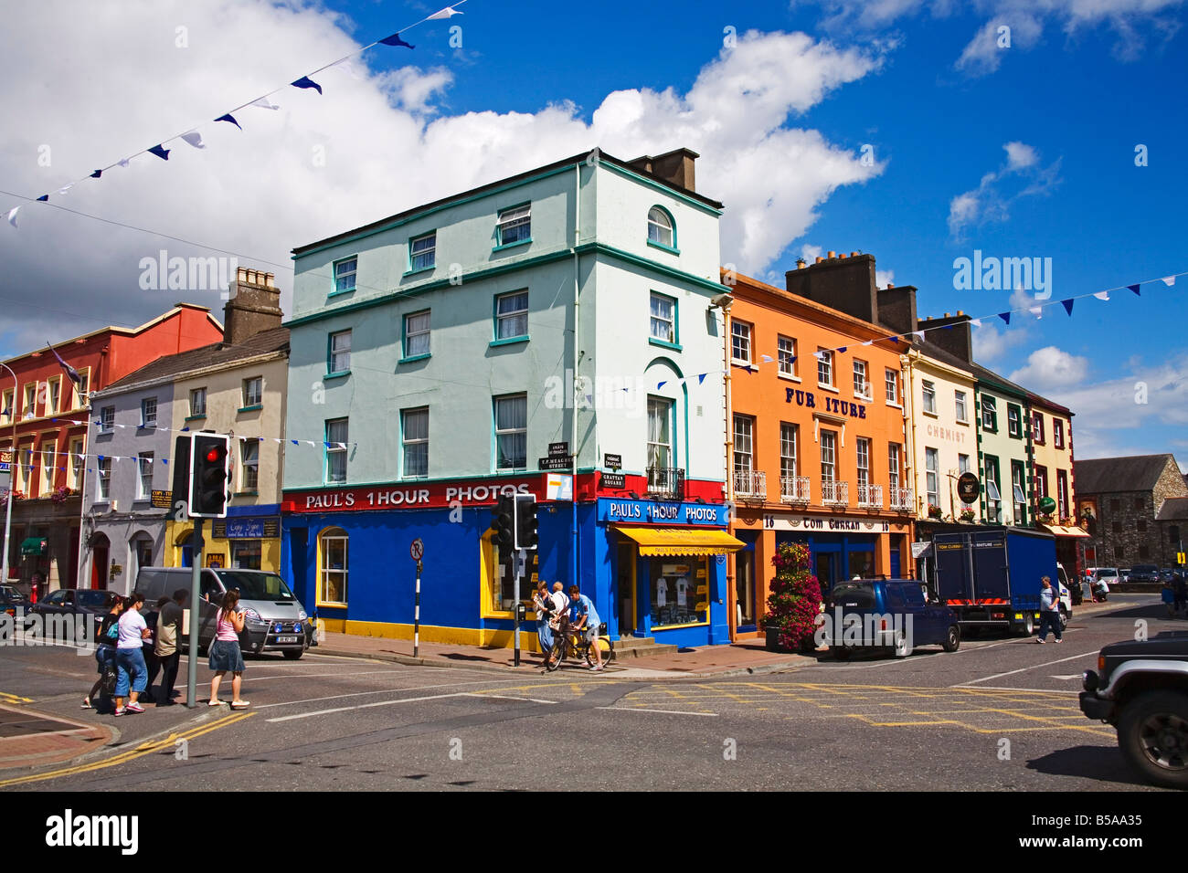 Town defences in DungarvanTown defences · 233 yd
 Grattan SquareVisitor information · 280 yd
 Castle (in ruins)Castle, tower house · 514 yd
 Cunnigar PointHeadland · 689 yd
 Horse-chestnutHorse-chestnut · 2.1 mi