What is recorded here
Not included in the SMR (1989) but listed in the RMP (1995) and classified 'Building Possible'. In pasture, on a rise on the S bank of the Arrow or Unshin River and on the N side of a disused avenue on the Markree estate. The ruins of a square 2-storey tower (H c. 3.5m; 6.45m N-S; 6.9m E-W) which is built of random rubble limestone bonded with lime mortar. The tower is built on a plinth (projects internally 0.35m) which is in turn built on an earlier plinth (projects externally 0.16m) which is only evident on the E side. There are the remains of window opes on the ground and first floors of the W wall and a door ope in the S wall with a window overhead. A ha-ha curves around the N side. An ornate road bridge is visible to W. The site of a castle (SL020-207-, ) lies 220m to W, immediately S of ornate bridge. This tower is probably post-1700 AD in date.
Compiled by: Archaeological Survey Unit, UCC
Date of upload: 11 January 2012
The monument record does not grant public access. Check the route and ask the landowner before entering private land.
- What survives
- Recorded monument
Places near here
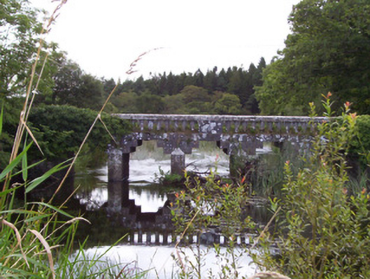 bridgebridge · 173 yd
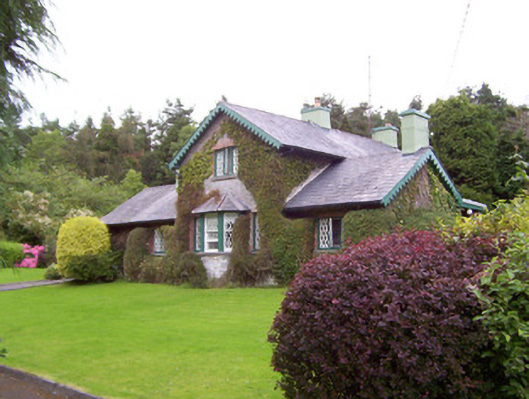 Deerpark Lodgegate lodge · 197 yd
 Kilederdaowen (Site of)Church · 244 yd
 Ecclesiastical enclosure in CloonmacduffEcclesiastical enclosure · 263 yd
 Teeling MonumentMemorial · 990 yd
 Battle of Collooneybattle · 996 yd
 European ashEuropean ash · 1290 yd
 Union RockForest · 1570 yd
 CastleCastle, motte and bailey · 1570 yd
 BunreecoillMountain / peak · 1.9 mi
 Castle (Site of)Castle, unclassified · 2.1 mi
 SlievewardMountain / peak · 2.2 mi