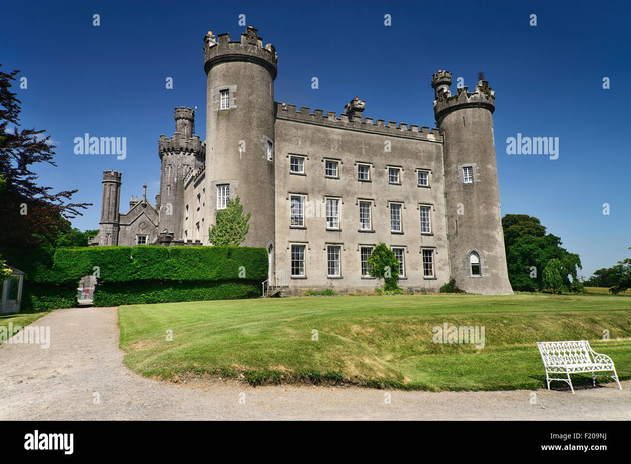
What is recorded here
Situated on a S-facing slope, in gently undulating pasture, to W of Cloncullen castle (WM020-107----). Building depicted on the 1837 ed. OS 6-inch map to W of castle . Monument described in 1983 as the grass-covered remains of a rectangular building (approx. dims. 17m N-S; 6.5m E-W) are visible. The wall footings of a second rectangular building (20m E-W; 7.5m N-S) adjoin to S and extend eastward. Several irregular-shaped stony mounds exist in the vicinity.
Compiled by Alison McQueen, Vera Rahilly and Caimin O’Brien.
Date of upload: 08 July 2019
The monument record does not grant public access. Check the route and ask the landowner before entering private land.
- What survives
- Recorded monument
Places near here
 CastleCastle, tower house · 51 yd
 EnclosureEnclosure, large enclosure · 1048 yd
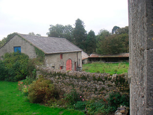 Huntingdon Houseoutbuilding · 1171 yd
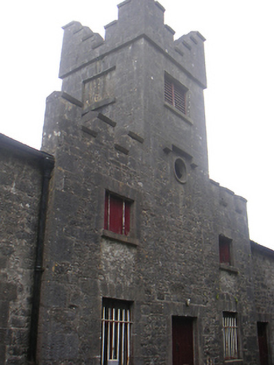 Lisnabin Castlestables, outbuilding · 1650 yd
 Bawn in Kerinstown and Balrowan (rowley)Bawn · 1676 yd
 Site of ChurchChurch · 1.1 mi
 GinkgoGinkgo · 3.6 mi
 ScregganWood · 6.7 mi
 Croppies' GraveMemorial · 9.7 mi
 Water millWater mill, horizontal-wheeled · 1.1 mi
 Hut site in ClonickilvantHut site · 1.2 mi
 Tober LastraghHoly well · 1.2 mi
Other information
Photo: Credit not shown in the picture search · Rights wording not checked; contact us if this picture should be removed