What is recorded here
On the E-facing slope of Brandon Hill, although in a clearing in forestry it is heavily covered with vegetation including ferns and scrub. It is described by Moore (1849-51, 23) as a 'quadrangular fort', which ‘besides possessing the usual fosse and rampart, contained within the enclosed space foundations of buildings [KK029-033002- to KK029-033007-], laid out apparently in small cells, of which there were about half a dozen, as nearly as I can recollect. These foundations were constructed of regular masonry, which I conceive to be of antiquity coeval with the earthen fortifications which surrounded them’.
The features mentioned by Moore are within a possible moated site (KK029-033001-). No internal features were visible when the moated site was visited in 2016, though heavy overgrowth of vegetation would have impeded any identification.
Compiled by: Jean Farrelly
Date of upload: 21 March 2022
The monument record does not grant public access. Check the route and ask the landowner before entering private land.
- What survives
- Recorded monument
Places near here
 Hillfort in Brandonhill (gowran By.)Hillfort · 1198 yd
 Brandon HillMountain / peak · 1228 yd
 Church in BallyoganChurch · 1259 yd
 Enclosure in Brandonhill (gowran By.)Enclosure · 1645 yd
 Gorlough WoodForest · 1743 yd
 Bahana WoodForest · 1.0 mi
 Freney's WellSpring · 1.1 mi
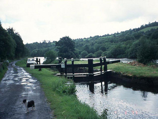 Saint Mullin's Locklock · 1.2 mi
 The SpoutSpring · 1.4 mi
 St. Mullins MoatCastle, motte and bailey · 1.8 mi
 Graveyard in St. Mullin'sGraveyard · 1.8 mi
 St. Michaels Church (in Ruins), GraveyardChurch · 1.8 mi