What is recorded here
Unlocated building within townland that is described by Comerford in his History of the Diocese of Kildare and Leighlin (1883, 190).
The above description is derived from the published 'Archaeological Inventory of County Offaly' (Dublin: Stationery Office, 1997). In certain instances the entries have been revised and updated in the light of recent research.
Date of upload: 23 May 2011
The monument record does not grant public access. Check the route and ask the landowner before entering private land.
- What survives
- Recorded monument
Places near here
 EntrenchmentEcclesiastical enclosure · 137 yd
 Killeigh Church (Geashill)church/chapel · 337 yd
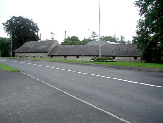 farmyard complexfarmyard complex · 345 yd
 Mick the MillerMemorial · 495 yd
 Burnett's WoodForest · 1035 yd
 Scrub HillMountain / peak · 1120 yd
 Red HillMountain / peak · 1.2 mi
 Derryad WoodForest · 1.4 mi
 Castle in ruinsCastle, unclassified · 2.8 mi
 Church (in Ruins), GraveyardChurch · 2.8 mi
 Castle Brack (in ruins)Castle, tower house · 2.8 mi