
What is recorded here
Map note: The map marks Buckaun East as a mountain or peak in County Mayo, Ireland. A hill can keep its own counsel; the surrounding map is ready to explore.
Buckaun East is recorded as a mountain / peak in County Mayo.
From OpenStreetMap (© OpenStreetMap contributors) n8911912613
Places near here
Photo credits
- Egbert Polski, Wikimedia Commons · CC BY-SA 4.0
- National Inventory of Architectural Heritage
- Oliver Dixon, Geograph · CC BY-SA 2.0
- Richard Webb, Geograph · CC BY-SA 2.0
- Keith Salvesen, Geograph · CC BY-SA 2.0
- Steve Edge, Wikimedia Commons · CC BY-SA 2.0
- Ridiculopathy, Wikimedia Commons · CC0
- Nmwood189, Wikimedia Commons · CC BY-SA 4.0
 Erriff BridgeBridge · 3.3 mi
Explorer Tom Erriff Bridge in Aillebaun had a fox take charge of traffic last Tuesday, apparently. Designed by Alexander Nimmo in 1823, it’s got an urban gracefulness that doesn’t belong in this rugged spot. The arches are just showing off for the river. Stand there long enough and so will you.
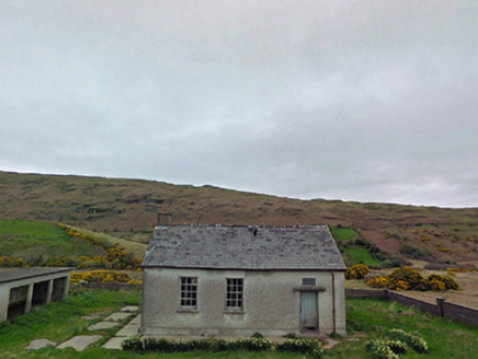 Glensaul National SchoolSchool · 3.4 mi
 Runnet HillMountain / peak · 4.3 mi
 Earls IslandIslet · 4.6 mi
 IslandmoreIslet · 4.6 mi
 Devilsmother Far North TopMountain / peak · 5.0 mi
 Sheeffry PassMountain pass · 5.5 mi
 Aasleagh WaterfallWaterfall · 6.6 mi
 Boheh StoneArchaeological place · 8.7 mi
 Cross-inscribed pillar in LankillCross-inscribed pillar · 8.9 mi
Explorer Tom Cross-inscribed pillar in Lankill would be the uncle who shows up late but steals the show with his stories. It’s tall, thin, and decorated like it went to finishing school for stone. Take a breath of that air, it's older than your car.
 CastlekirkCastle · 9.1 mi
 Brackloon WoodsForest · 9.6 mi
More mountains and hills in County Mayo · All of County Mayo

What do you know about this place?Tap to add a comment or ask a question