
What is recorded here
Single-span road bridge over railway line, opened 1863. Reconstructed, ----, producing present composition. Part creeper- or ivy-covered tuck pointed coursed or snecked rock faced walls between part creeper- or ivy-covered tuck pointed coursed or snecked rock faced battered piers with cut-granite chamfered…
Read the whole record
Single-span road bridge over railway line, opened 1863. Reconstructed, ----, producing present composition. Part creeper- or ivy-covered tuck pointed coursed or snecked rock faced walls between part creeper- or ivy-covered tuck pointed coursed or snecked rock faced battered piers with cut-granite chamfered stringcourses supporting benchmark-inscribed parapets having cut-granite chamfered coping. Sited spanning railway line with unkempt embankments to railway line.
A bridge identified as an integral component of the mid nineteenth-century civil engineering heritage of Gorey on account of the connections with the extension of the Dublin, Wicklow and Wexford Railway (DWWR) line opened (1863) by the Dublin, Wicklow and Wexford Railway (DWWR) Company: meanwhile, a benchmark remains of additional interest for the connections with cartography and the preparation of maps by the Ordnance Survey (established 1824).
From the Buildings of Ireland (National Inventory of Architectural Heritage) record 15601094
Places near here
Picture notes
- National Inventory of Architectural Heritage
- Computer-made picture. It does not show this monument.
- Computer-made picture. It does not show this playground.
- Smirkybec, Wikimedia Commons · CC BY-SA 4.0
- Ian Brooker and David Kleinig, Wikimedia Commons · CC BY 3.0 au
- surrealpenguin, Wikimedia Commons · CC BY-SA 2.0
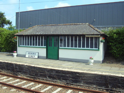 Gorey Railway StationBuilding misc · 80 yd
 unknown116 yd
 Glenbower HouseHouse · 183 yd
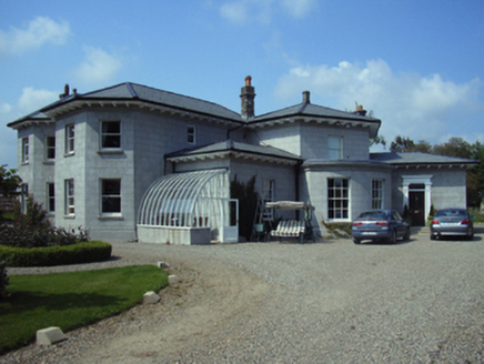 Millmount HouseHouse · 211 yd
 Not indicatedExcavation, miscellaneous · 316 ydComputer-made picture
 Urn burial in Gorey Corporation LandsUrn burial · 321 ydComputer-made picture
 Children's playground336 ydComputer-made picture
 cobbles/flags/paving/kerbing348 yd
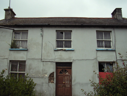 Kirkham HouseHouse · 405 yd
 Market HouseHeritage attraction · 608 yd
 Johnston's gum3.5 mi
 Persian Walnut4.4 mi
More historic places in County Wexford · All of County Wexford

What do you know about this place?Tap to add a comment or ask a question