What is recorded here
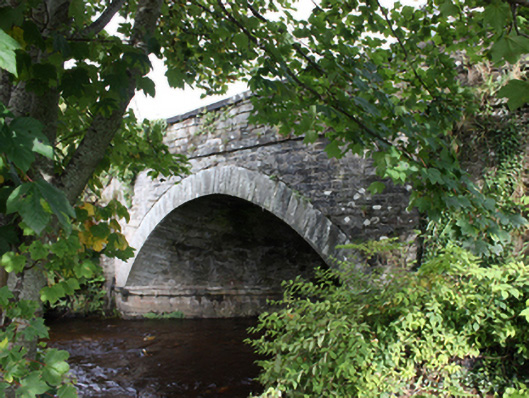
Single-arch bridge carrying road over Bredagh River, built c. 1829. Segmental-headed arch with tooled ashlar limestone voussoirs and with tooled ashlar stringcourse at deck level. Squared rubble stone construction to arch barrel, set in diagonal courses. Squared and coursed rubble stone construction to spandrels and abutments. Squared and coursed rubble stone construction to parapet with tooled limestone ashlar coping over. Double carriageway with tarmac deck having pathway to the east side of bridge. Located to the west of the centre of Moville, carrying main approach road into town from the south-west.
This impressive and elegant single-arch bridge, of early nineteenth-century century date, retains its original form and character, and is an appealing feature along the main approach road in to Moville from the west\south-west. It is robustly-constructed in local squared rubble stone masonry, and its continued survival and use stands as testament to the quality of its original construction, and of the skill of the masons involved. The single wide graceful arch with well-crafted voussoirs, and the skewed masonry to the arch barrel are features of some technical and engineering merit that help to elevate this bridge above many of its contemporaries. Subdued decorative interest is supplied by the cut stone stringcourses at road deck level and arch springing point, and the cut stone coping over the parapets. This bridge was apparently built c. 1829 after an existing bridge to site was swept away in a flood in 1828. Its construction was probably at least partially funded by the Montgomery family (probably in conjunction with the local Grand Jury) of nearby New Park (see 40809049), proprietors of Moville at the time of erection; this may account for the quality of the masonry used in its construction. This fine bridge is an addition to both the built heritage of the local area and to the extensive transport heritage of County Donegal.
This does not grant access. Most recorded buildings are privately owned; view them only from public ground unless the owner allows entry.
Places near here
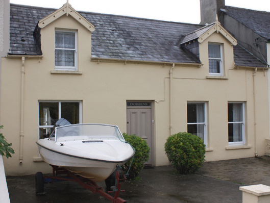 Dobbinshouse · 49 yd
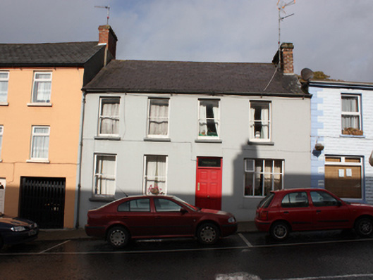 Bredaghhouse · 71 yd
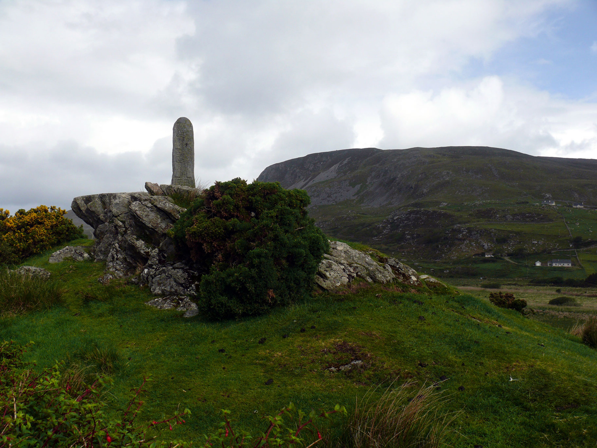 St. Columbkilles WellHoly well · 610 yd
 Cooly Medieval GraveslabGraveslab · 1222 yd
 Cooley CrossMemorial · 1279 yd
 Castle CaryCastle, unclassified · 2.3 mi
 Inishowen Maritime Museum and PlanetariumMuseum · 2.5 mi
 CrockaulinMountain / peak · 2.5 mi
 CrockavishaneMountain / peak · 2.8 mi
 GreencastleCastle · 2.9 mi
 Sweet Nellie'sBeach / strand · 4.1 mi
 White StrandBeach / strand · 4.5 mi
Other information
Photo: National Inventory of Architectural Heritage · Website use allowed for educational or private purposes with source credit