What is recorded here
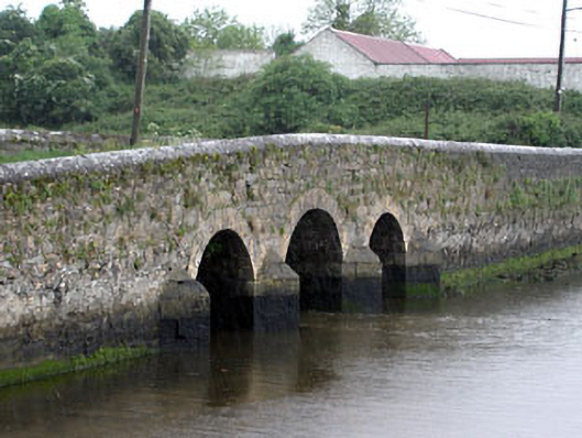
Triple-arch road bridge, built c.1840, with a disused flood gate to the south elevation and breakwaters to north elevation. Rubble stone walls with ashlar limestone breakwaters and voussoirs.
The rubble stone used for the construction of this bridge contrasts with the ashlar voussoirs and breakwaters, which are clearly the work of skilled craftsmen. The remains of the flood gates act as a reminder of a time when the water flow was controlled.
This does not grant access. Most recorded buildings are privately owned; view them only from public ground unless the owner allows entry.
Places near here
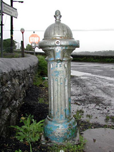 water pumpwater pump · 43 yd
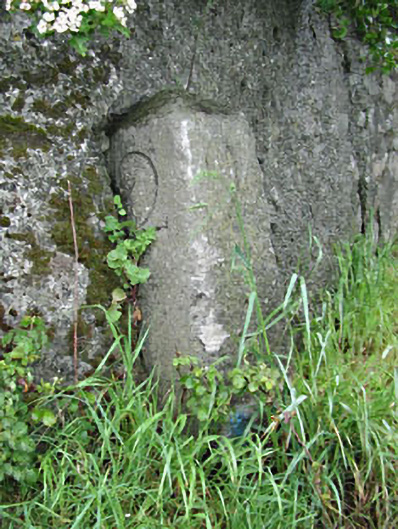 milestone/milepostmilestone/milepost · 52 yd
 Grave YardGraveyard · 157 yd
 Enclosure in MorningtonEnclosure · 351 yd
 Beaulieu House and GardensHeritage attraction · 1066 yd
 RuinCastle, tower house · 1352 yd
 Site of Old CastleCastle, unclassified · 1713 yd
 Battle of Julianstownbattle · 3.5 mi
 Newgrange Business ParkMemorial · 4.0 mi
 Yellow IslandIslet · 4.7 mi
 Grove IslandIslet · 5.1 mi
 Ben HeadCliff · 5.3 mi
Other information
Photo: National Inventory of Architectural Heritage · Website use allowed for educational or private purposes with source credit