
What is recorded here
A cirular enclosure was identified on Google earth (Pers comm. Barry O'Reilly 17/10/2012). This site is located on the outskirts of Mornington village in a flat field of pasture behind a terrace of houses. There are unrestricted views except in the south. There are no visible remains above ground.
Compiled by: Geraldine Stout
Date of upload: 06 November 2012
A local fairy fort (ringfort/rath); wider significance not recorded.
This remains an important historical record, but the official description says the monument is no longer visible or has been destroyed. The monument record does not grant public access. Check the route and ask the landowner before entering private land.
- What survives
- No visible remains or recorded as destroyed
Places near here
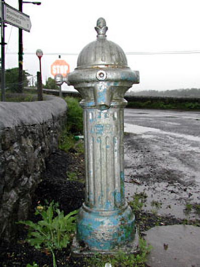 water pumpwater pump · 343 yd
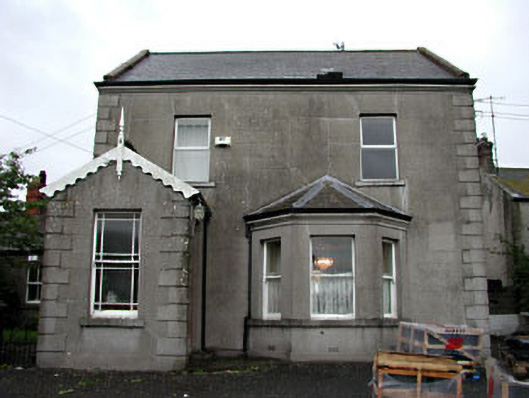 Anchoragehouse · 344 yd
 Grave YardGraveyard · 404 yd
 Holy well in MorningtonHoly well · 619 yd
 RuinCastle, tower house · 1002 yd
 Beaulieu House and GardensHeritage attraction · 1410 yd
 Site of Old CastleCastle, unclassified · 1504 yd
 Battle of Julianstownbattle · 3.3 mi
 Newgrange Business ParkMemorial · 4.0 mi
 Yellow IslandIslet · 4.8 mi
 Ben HeadCliff · 5.1 mi
 Grove IslandIslet · 5.2 mi
Other information
Photo: Credit not shown in the picture search · Rights wording not checked; contact us if this picture should be removed