What is recorded here
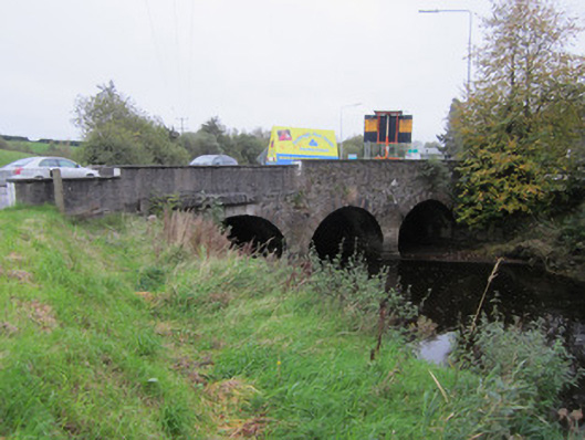
Three-arch skew limestone bridge, built c.1860, carrying N2 road over River Blackwater, widened to southeast by concrete structure of c.1980. Visible, northwest upstream, elevation of stone bridge has walls of uncoursed rubble stone with round arches of slightly different heights, having punch-finished ashlar voussoirs, and similarly finished V-plan cut-waters. Part of parapet over north arch rebuilt in cast concrete to facilitate footpath held on concrete plinth and projecting over arch ring and north wing wall. Parapet has concrete capping, roughcast render to road elevation, and concrete skirting around base of cut-waters and abutments. Later, widened part of bridge holds multiple drainage and service ducts and pipes and has roughcast rendered parapet. Round arch of original southeast elevation visible through this later structure.
This late nineteenth-century bridge replaces an earlier structure that is depicted on the first edition Ordnance Survey map. It is well constructed of rubble and ashlar limestone, with good round arches, and forms a point of interest in the landscape and roadscape. It is still functioning well after two centuries.
This does not grant access. Most recorded buildings are privately owned; view them only from public ground unless the owner allows entry.
Places near here
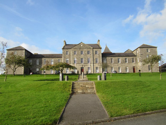 Saint Macartan's Collegeschool · 274 yd
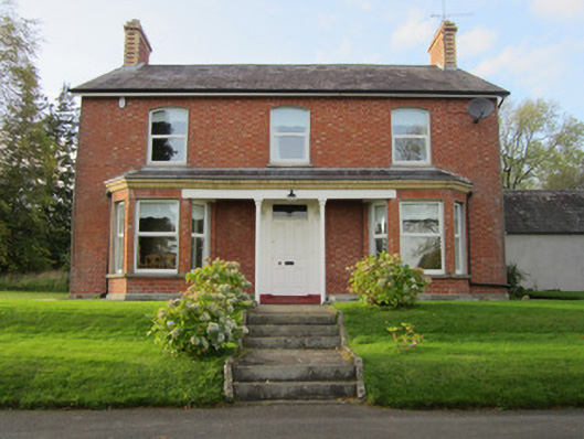 The Mansemanse · 366 yd
 Fulacht fia in TullyhirmFulacht fia · 1119 yd
 Confession BushRitual site, holy tree/bush · 1379 yd
 Monaghan County MuseumMuseum · 1458 yd
 The Nut WoodForest · 1.0 mi
 Rossmore MonumentMemorial · 1.1 mi
 Bawn in Roosky (monaghan By., Monaghan Par.)Bawn · 1.1 mi
 European ashEuropean ash · 1.2 mi
 Banba GiantHeritage attraction · 2.6 mi
 Castleshane WaterfallWaterfall · 3.8 mi
 Rough HillMountain / peak · 4.4 mi
Other information
Photo: National Inventory of Architectural Heritage · Website use allowed for educational or private purposes with source credit