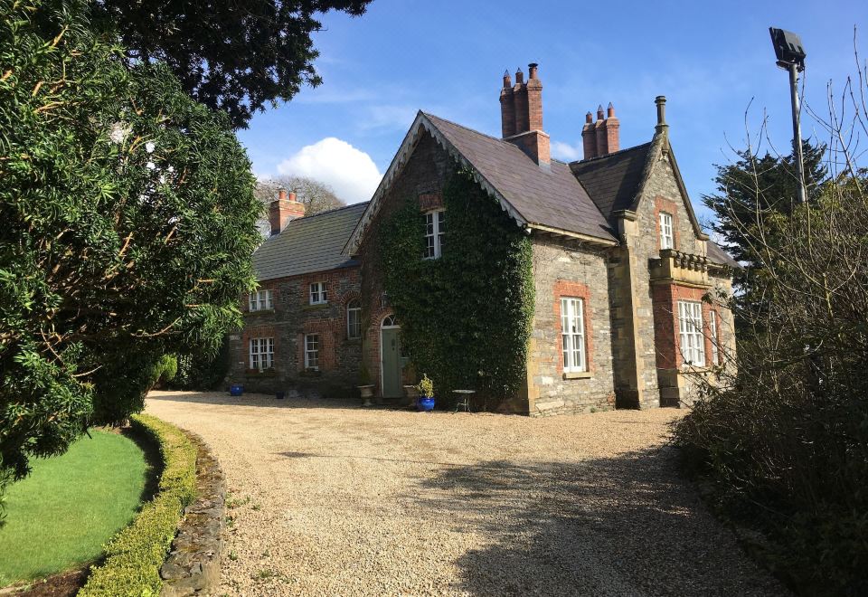
What is recorded here
Discovered prior to road construction (Excavation Licence No. 04E1159). A spread of charcoal-rich silt and heat shattered stones (dims. c. 5m x 2m; D 0.25m) was initially uncovered. This sealed a large sub-circular pit (2.3m x 1.7m; D 0.25m) which possibly represented the remains of a trough. A sample of charcoal from the stone spread produce a C14 determination of 2140-1740 Cal. BC (Walsh 2009, 5-6). (Walsh F. 2007, 357)
Date of revised upload: 5 December 2017
The monument record does not grant public access. Check the route and ask the landowner before entering private land.
- What survives
- Recorded monument
Places near here
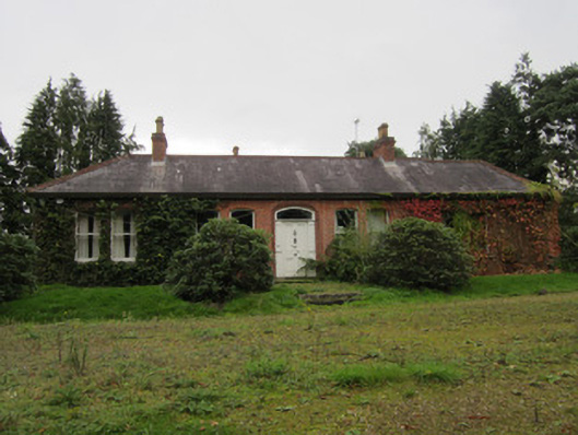 Tullyhirm Househouse · 434 yd
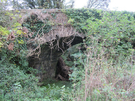 bridgebridge · 583 yd
 Fulacht fia in Annahagh (monaghan By; Monaghan Par.)Fulacht fia · 618 yd
 Confession BushRitual site, holy tree/bush · 734 yd
 Monaghan County MuseumMuseum · 1262 yd
 Rossmore MonumentMemorial · 1538 yd
 Bawn in Roosky (monaghan By., Monaghan Par.)Bawn · 1586 yd
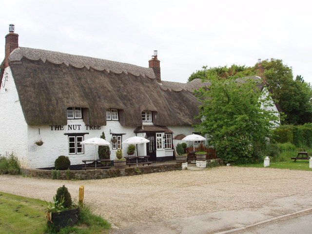 The Nut WoodForest · 1643 yd
 Liscarney WoodWood · 1.0 mi
 The BarnHeritage attraction · 2.4 mi
 Castleshane WaterfallWaterfall · 3.2 mi
 Rough HillMountain / peak · 4.7 mi
Other information
Photo: Credit not shown in the picture search · Rights wording not checked; contact us if this picture should be removed