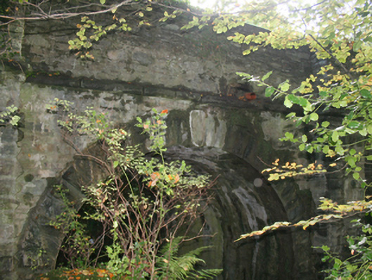
What is recorded here
Single-arch road bridge over small tributary of the Bredagh River, built c. 1780, with square buttresses to piers. Round-headed arch with square rubble voussoirs and keystone. Random rubble walls to parapet with large squared coping stones. Ashlar stringcourse to parapet base. Squared rubble walls to piers and arch barrel. Double carriageway with tarmacadam deck. Forming principal approach from north-west to Moville town centre.
An attractive bridge, rich in character with distinctive square buttresses to piers and an integral part of Moville’s historic environment. An interesting use of materials, the use of large coping stones is a common vernacular detail. The bridge has long-served as an important crossing-point and its continued use is testament to its design and construction. As the town was developed from c. 1780, that date would seem appropriate for the bridge.
This does not grant access. Most recorded buildings are privately owned; view them only from public ground unless the owner allows entry.
Places near here
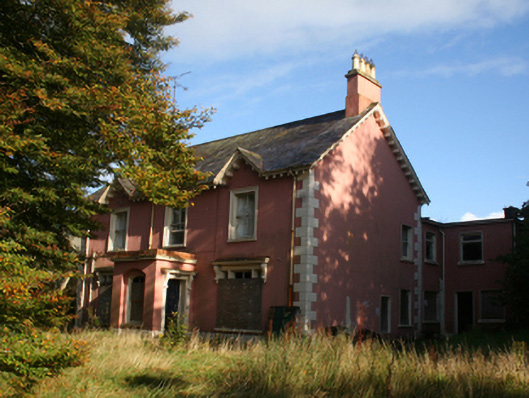 Rosebankhouse · 63 yd
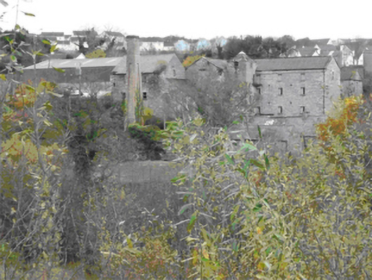 Gulladoo Millmill (water) · 109 yd
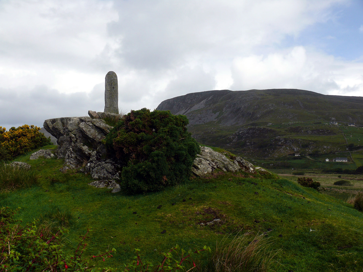 St. Columbkilles WellHoly well · 807 yd
 Cooly Medieval GraveslabGraveslab · 1148 yd
 Cooley CrossMemorial · 1207 yd
 CrockaulinMountain / peak · 2.3 mi
 Castle CaryCastle, unclassified · 2.4 mi
 Inishowen Maritime Museum and PlanetariumMuseum · 2.4 mi
 CrockavishaneMountain / peak · 2.6 mi
 GreencastleCastle · 2.9 mi
 Sweet Nellie'sBeach / strand · 4.0 mi
 White StrandBeach / strand · 4.5 mi
Other information
Photo: National Inventory of Architectural Heritage · Website use allowed for educational or private purposes with source credit