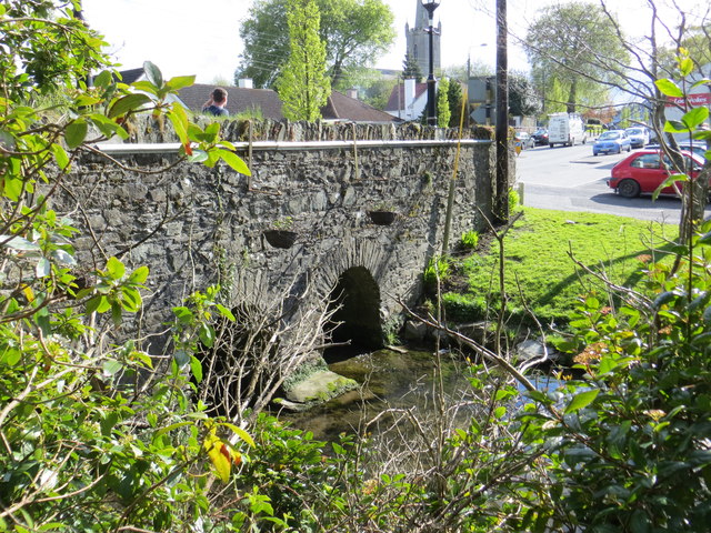
What is recorded here
Three-arch rubble stone road bridge over stream, c.1850, with triangular cut-waters to south-east, rubble stone voussoirs and parapet walls. Random rubble stone walls. Rubble stone triangular cut-waters to south-east. Rubble stone parapet walls with slit apertures and rubble stone coping. Three round arches. Rubble stone voussoirs. Rubble stone soffits with traces of render over. Sited spanning stream with grass banks to stream.
This bridge is a fine and stout rubble stone bridge that forms an imposing feature on the stream that passes through the heart of the village of Kill. The construction of the arches that have retained their original shape is of technical and engineering merit. The bridge exhibits good quality traditional stone masonry. The bridge is of considerable historical and social significance as a reminder of the road network development in Ireland in the mid nineteenth century.
This does not grant access. Most recorded buildings are privately owned; view them only from public ground unless the owner allows entry.
Places near here
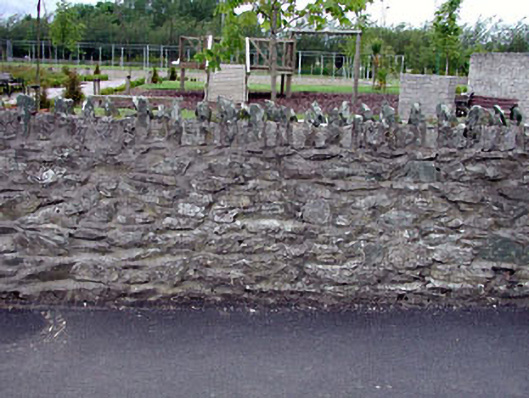 gates/railings/walls, Killgates/railings/walls · 17 yd
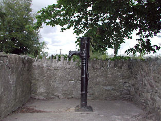 water pump, Killwater pump · 29 yd
 Ecclesiastical site in Kill WestEcclesiastical site · 139 yd
 Kill Moat, KillhillCastle, motte and bailey · 420 yd
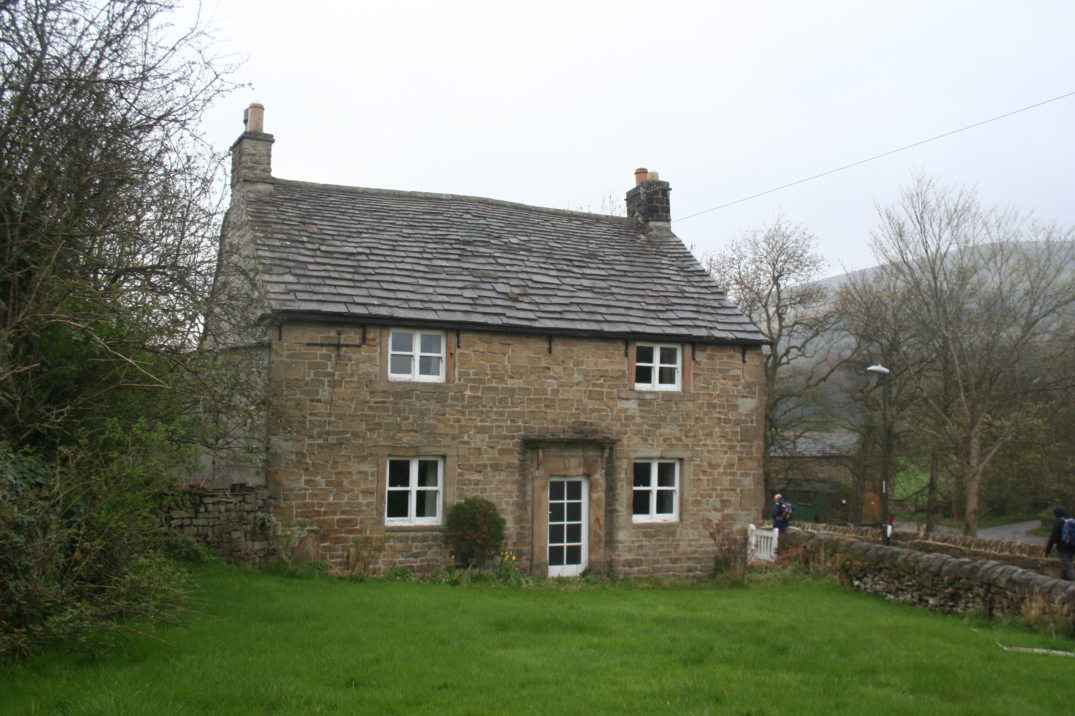 Enclosure in KillhillEnclosure · 538 yd
 McCullagh's WoodWood · 1580 yd
 Hartwell Castle, Hartwell UpperCastle, unclassified · 1695 yd
 Common Lime, Bishops Court, Co. KildareCommon Lime · 1.2 mi
 Oughterard Round TowerHeritage attraction · 2.2 mi
 Arthur Guinness GraveMemorial · 2.2 mi
 Athgoe HillMountain / peak · 4.1 mi
 Cupidstown HillMountain / peak · 4.2 mi
Other information
Photo: jwd · CC BY-SA 2.0