
What is recorded here
Single-arch former railway bridge, built c. 1893, carrying former Donegal Town to Killybegs narrow gauge railway line over small country road. Railway lines now out of use with tracks removed (c. 1960). Squared rock-faced stone construction to spandrels and to parapets with rock-faced coping over parapets; rock-faced…
Read the whole record
From the Buildings of Ireland (National Inventory of Architectural Heritage) record 40909225
Places near here
Photo credits
- National Inventory of Architectural Heritage
- louise price, Geograph · CC BY-SA 2.0
- Maker not stated on source page, commons.wikimedia.org
- Maker not stated on source page, www.pinterest.com
- Maker not stated on source page, www.alamy.com
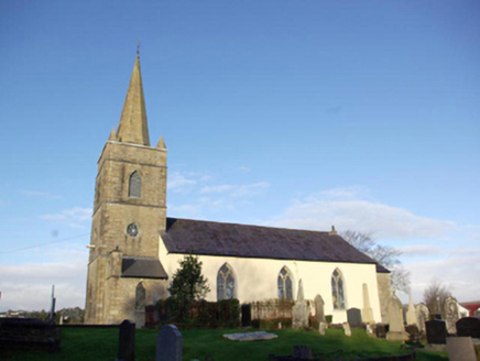 Inver Church of Ireland ChurchChurch/chapel · 221 yd
Explorer Tom Inver Church of Ireland Church is hiding a tunnel that leads straight to the pub, which explains why the congregation…
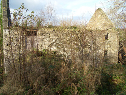 Inver Corn MilMill (water) · 441 yd
Explorer Tom Inver Corn Mil has a huge metal waterwheel with timber paddles that look like giant oars! I bet it used to spin so fast…
 gate lodge536 yd
Explorer Tom Gate lodge in Inver Glebe has a prophecy that says it will one day become a very fancy birdhouse for eagles with…
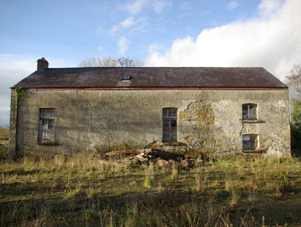 Inver CreameryCreamery · 681 yd
Explorer Tom Inver Creamery still hides a large timber and metal churn inside! I can hear it going *chug-chug-chug* in my head…
 bridge696 yd
Explorer Tom Bridge in Keeloges looks like a stone giant doing a lazy stretch after a very long nap. Built around 1893, it used to…
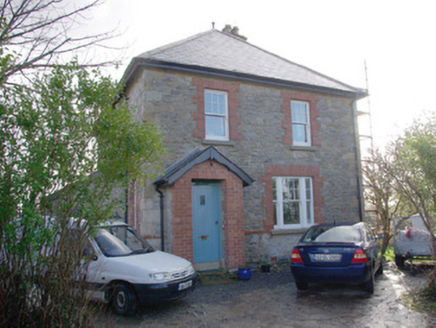 The Creamery HouseWorker's house · 700 yd
Explorer Tom The Creamery House was built in 1916 to shelter a busy dairy boss. I bet he zipped across to the nearby creamery every…
 water tower701 yd
Explorer Tom Water tower in Keeloges has a metal pulley wheel on its side! Built around 1893, I wonder if the steam engines used it…
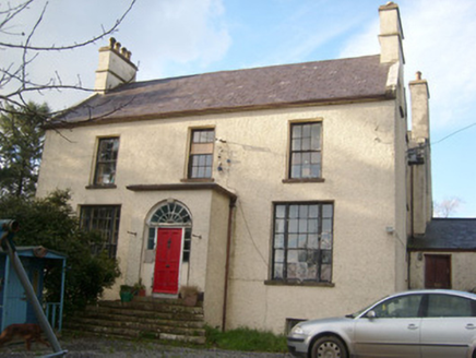 rectory/glebe/vicarage/curate's house827 yd
Explorer Tom Rectory in Inver Glebe is the sort of house where I reckon the wind has been reading sermons since c. 1810. It’s all…
 Cist in Inver GlebeCist · 1006 yd
Explorer Tom Cist in Inver Glebe is a stone box waiting for its story to be fully typed up and shared. A cist sounds like something…
 Inver Old Church GraveyardGraveyard · 1129 yd
Explorer Tom Inver Old Church Graveyard curves around ruins at the mouth of the Eany Water. The survey says its southwest half was…
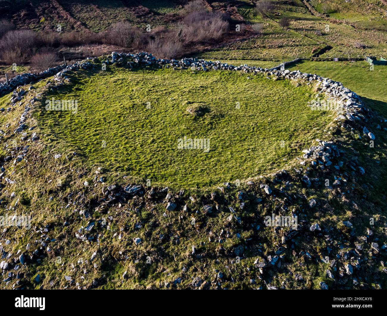 Fairy fort / ringfort in BonnyglenFairy fort / ringfort · 1183 yd
Explorer Tom Fairy fort / ringfort in Bonnyglen is officially just a recorded spot, but that feels like a cop-out. It’s probably a…
 Mapped cemeteryCemetery · 1.3 mi
Explorer Tom Mapped cemetery would bring a bag of crisps to a party because it thinks sharing is fundamental, even if most people…
More historic places in County Donegal · All of County Donegal

What do you know about this place?Tap to add a comment or ask a question