What is recorded here
This bridge spans the county boundary between Leitrim and Cavan. A bridge is depicted on the Down Survey (1656-8) map of Carrigallen barony connecting Tumanahan (22) (Woodford) with Co. Cavan, close to the castle (LE026-001002-). The precise location of the bridge is not known, but the Ballinamore & Ballyconnell canal will have removed all evidence of a bridge close to the house. The canal has cut off a loop of the river extending N and the bridge may have been here. Cross-reference with LE026-001004-
See the attached view from the Down Survey parish map (N at left) reproduced courtesy of the National Library of Ireland (Ms 717).
Compiled by: Michael Moore
The monument record does not grant public access. Check the route and ask the landowner before entering private land.
- What survives
- Recorded monument
Places near here
 CastleCastle, ringwork · 133 yd
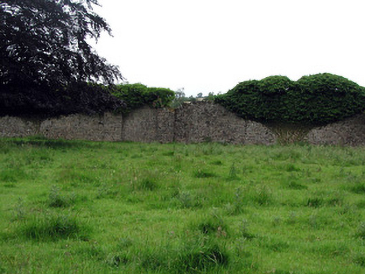 Woodfordwalled garden · 218 yd
 Black PoplarBlack Poplar · 350 yd
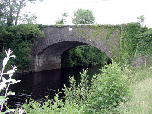 Ballinacur Bridgebridge · 639 yd
 IndicatedCastle, tower house · 1118 yd
 Cross in CullyCross · 1346 yd
 DerrynigginMountain / peak · 1394 yd
 Cherry IslandIslet · 1689 yd
 Enclosure in CullyEnclosure · 1.1 mi
 Crane IslandIslet · 1.1 mi
 Giants GraveArchaeological place · 1.5 mi
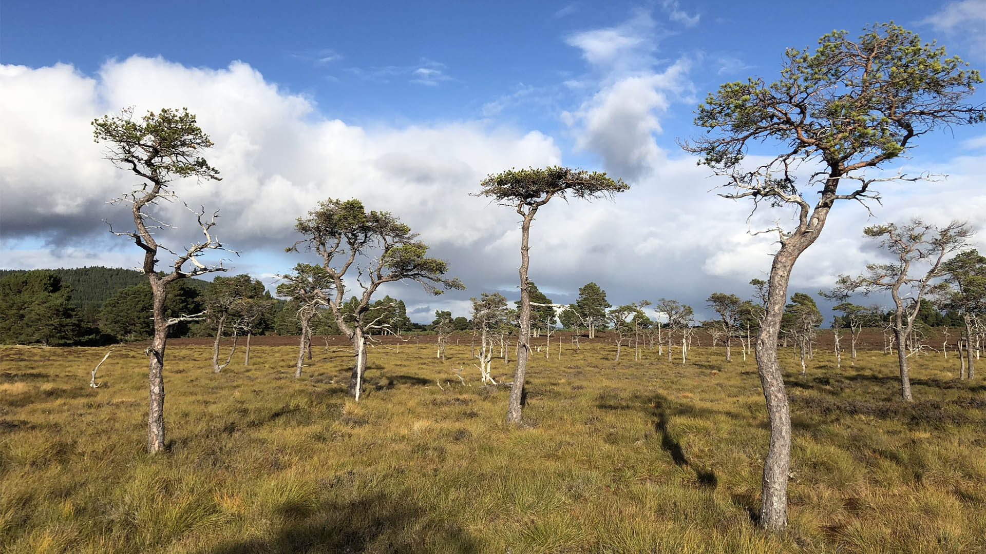 Derrycassan Bog WoodlandWood · 1.6 mi