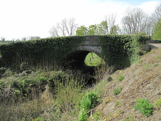
What is recorded here
Single-arch canal bridge, built c.1840, carrying road over now disused Ulster Canal. Round arch with dressed sandstone voussoirs and cut sandstone soffits. Curved wing walls to north of east and south of west wall. Squared random rubble sandstone to spandrel and parapet walls, dressed stone copings to parapets having inscribed benchmark to coping to west, dressed stone platband to base of parapet wall. Towpath running to south, with tooled stone curbing. Dressed stone milepost to north-west of bridge, inscribed face to canal.
Linking Lough Neagh with Upper Lough Erne, this section of the Ulster canal opened in 1841 and was intended to provide a means of transport for passengers and bulk produce, thus aiding industry and the economy in the area. Skilled craftsmanship and engineering is evident, and tooled stone voussoirs, coping and platband enliven this bridge. This piece of canal infrastructure is a focal point at this junction and is a reminder of the industrial and social history of County Monaghan. The adjacent milepost adds contextual interest, being one of few which remain along the line of the canal.
This does not grant access. Most recorded buildings are privately owned; view them only from public ground unless the owner allows entry.
Places near here
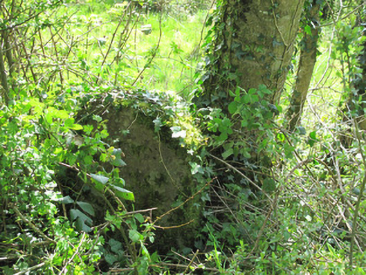 milestone/milepostmilestone/milepost · 45 yd
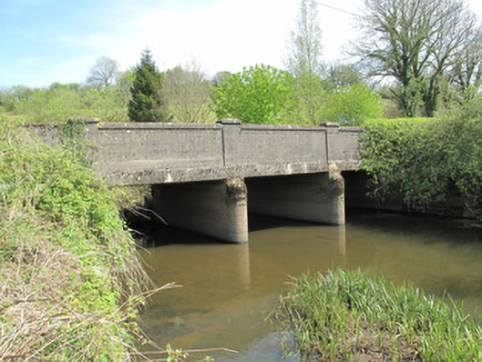 Annamakiff Bridgebridge · 727 yd
 IndicatedEcclesiastical site · 1581 yd
 KillycoonaghWood · 1615 yd
 The IslandCrannog · 1722 yd
 Saint John's WellSpring · 1.1 mi
 Common LimeCommon Lime · 1.1 mi
 Jaundice WellSpring · 1.2 mi
 Roosky Castle (Site of)Castle, ringwork · 1.8 mi
 Lisarrilly HillMountain / peak · 2.3 mi
 Abbey RuinsHeritage attraction · 2.8 mi
 The Cassandra Hand CentreMuseum · 2.8 mi
Other information
Photo: National Inventory of Architectural Heritage · Website use allowed for educational or private purposes with source credit