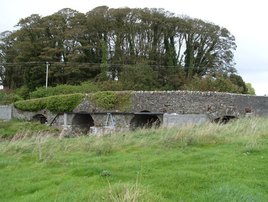
What is recorded here
Four-arch random rubble limestone road bridge, built c.1760, over Sinking River. Slightly pointed central arches flanked by segmental arches. Thin rubble stone voussoirs to arch rings, gunnelling to arch soffits. Flat-fronted concreted cutwaters. Metal bracing clamps to either side of each arch. Random rubble limestone spandrels and parapets, latter with stones laid on edge. Section of parapet to south-west replaced with concrete block and flat coping. Recent concrete blockwork supporting pipework to south-west elevation. Random rubble limestone walls to adjoining fields.
The simply detailed road bridge, carrying traffic over the Sinking River, is a good example of the achievements of eighteenth-century local craftsman. It retains its original form and has been important in maintaining transport links between Dunmore and Claremorris for over two centuries.
This does not grant access. Most recorded buildings are privately owned; view them only from public ground unless the owner allows entry.
Places near here
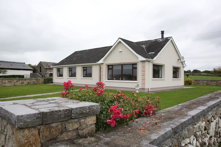 Enclosure in CastlefarmEnclosure · 82 yd
 Dunmore CastleCastle · 90 yd
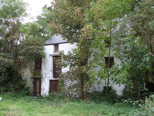 mill (water)mill (water) · 116 yd
 RathcollArchaeological place · 281 yd
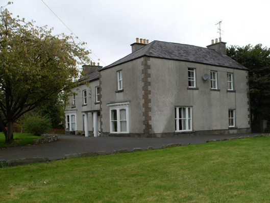 Saint Mary'shouse · 864 yd
 Slieve DartMountain / peak · 3.8 mi
 Site of Doonbally CastleCastle, unclassified · 3.8 mi
 European ashEuropean ash · 8.1 mi
 Mass RockNamed rock · 9.9 mi
 KnockmaaWood · 13 mi
 Cross in DunmoreCross · 988 yd
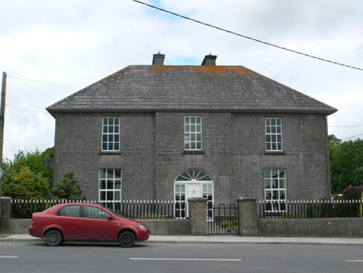 Merton Housepresbytery/parochial/curate's house · 996 yd
Other information
Photo: National Inventory of Architectural Heritage · Website use allowed for educational or private purposes with source credit