What is recorded here
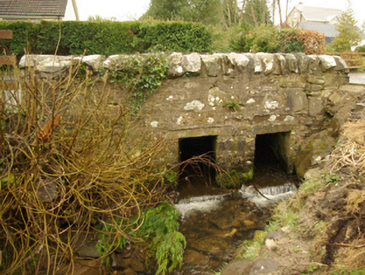
Double-arched bridge carrying road over unnamed stream flowing into River Finn to the north-east, built c. 1820. Small flat\square-headed arches having cut stone lintels, and roughly squared rubble stone constructions to piers and along soffit. Roughly squared rubble stone construction to central pier, spandrels, and to parapets; rubble stone\boulder coping to parapets. Heavy cement pointing to parapets. Tarmacadam deck. Located to the west end of Crossroads, adjacent to Catholic church (see 40839017), and to the south-west of Killygordon.
Despite some modern repairs, this simple but appealing small-scale road bridge retains much its early character and form, and is an appealing feature in the landscape to the west end of Crossroads. This simple bridge is notable for the two small flat or square-headed arches, which create a distinctive composition of some rustic appeal. These small arches have stone lintels, and lend this structure a form that is vaguely similar to that of a clapper bridge. This bridge is robustly-constructed in local rubble stone masonry, and its continued survival and use stands as testament to the quality of its original construction, and of the skill of the masons involved. This bridge probably originally dates to the late eighteenth century e first decades of the nineteenth century, a period that saw a great deal of road and bridge-building in Ireland, particularly by the Grand Juries (the forerunners of the County Councils). This appealing small-scale rustic bridge is a modest addition to the built heritage and transport heritage of the local area, and makes a positive contribution to the local environment.
From the Buildings of Ireland (National Inventory of Architectural Heritage) record 40839018
This does not grant access. Most recorded buildings are privately owned; view them only from public ground unless the owner allows entry.
Places near here
Photo credits
- National Inventory of Architectural Heritage
- Richard Webb, Geograph · CC BY-SA 2.0
- Willie Duffin, Geograph · CC BY-SA 2.0
- Kenneth Allen, Wikimedia Commons · CC BY-SA 2.0
- Kenneth Allen, Geograph · CC BY-SA 2.0
- Dr Neil Clifton, Geograph · CC BY-SA 2.0
- 60McCurdy, Wikimedia Commons · CC BY-SA 3.0
- Oliver Dixon, Geograph · CC BY-SA 2.0
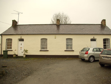 worker's house52 yd
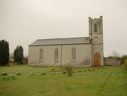 Saint Anne's Church (Donaghmore)Church/chapel · 82 yd
 Lismullyduff MountainMountain / peak · 3.4 mi
 Drumboe WoodForest recreation place · 3.6 mi
 Garvagh Pullans Court TombCourt tomb · 3.9 mi
 Standing stone in Garvagh PullansStanding Stone · 4.0 mi
 Carnowen HillMountain / peak · 4.3 mi
 PalaceHouse, fortified house · 7.1 mi
 Newmills Corn and Flax MillsHeritage attraction · 11 mi
 Mongavlin CastleHouse, fortified house · 13 mi
 Sallow IslandIslet · 20 mi
 Church & graveyard in Drumragh (caldwell)Church & Graveyard · 22 mi
More historic places in County Donegal · All of County Donegal
What do you know about this place?