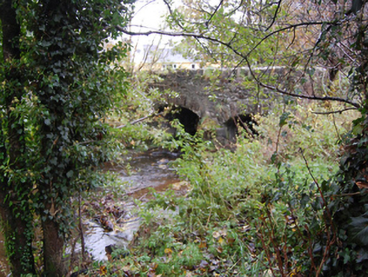
Places near here
Photo credits
- National Inventory of Architectural Heritage
- Richard Webb, Wikimedia Commons · CC BY-SA 2.0
- Kenneth Allen, Geograph · CC BY-SA 2.0
- Sitomon, Wikimedia Commons · CC BY-SA 2.0
- Eeno11, Wikimedia Commons · CC BY-SA 3.0
- P L Chadwick, Geograph · CC BY-SA 2.0
- Kenneth Allen, Wikimedia Commons · CC BY-SA 2.0
- Andreas F. Borchert, Wikimedia Commons · CC BY-SA 4.0
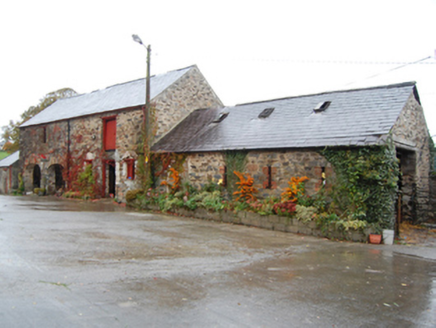 Green CottageOutbuilding · 40 yd
Explorer Tom Green Cottage might have been the ancestral home of John Caldwell Calhoun! He became the seventh Vice President of the United States, so this little outbuilding in Donegal is basically a distant cousin to the White House. I bet he used the stables as a very serious debate practice room.
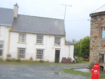 worker's house62 yd
Explorer Tom Worker's house in Corkey, built around 1825, stands near a former corn mill and what may have been a flax mill. The record suggests it might have housed a mill worker but names no one. Two possible jobs next door, and a house keeping its tenant's name to itself!
 Battlefield in Tully (kincraigy Ed),glenmaquin Lower,roosky (castleforward Ed)Battlefield · 1.9 mi
Explorer Tom Tully, Glenmaquin Lower had a fox that took charge of the whole operation once, probably because it was smarter than the generals involved in the mess. The animal just sat on a rock looking smug while everyone else argued over who started it. Take the long way round, it deserves the effort.
Battle of GlenmaquinBattle · 2.5 miExplorer Tom Battle of Glenmaquin would tell its younger self to stop caring so much about the Crown victory and just enjoy the mud, because 1642 was all about the mess anyway. It’s part of the Irish Confederate Wars, which sounds like a very exclusive club that nobody wanted to join voluntarily. Look serious, nod slowly, you're basically an expert now.
 Mongorry HillMountain / peak · 2.9 mi
Explorer Tom Mongorry Hill swears by a superstition that says if you sneeze, you must buy a pint or it will rain all week. Locals are terrified of this rule, so they carry umbrellas even in sunshine just to be safe. Whisper a secret at it, because it has kept worse ones for centuries.
 European Yew3.7 mi
Explorer Tom European Yew in County Donegal is a yew, which means it’s tough, old, and probably poisonous if you look at it wrong. It’s the kind of tree that survives empires and bad haircuts. Bring your own legend, I've run out, make up a story about a dragon living in its branches.
 Rowan3.8 mi
Explorer Tom Rowan is in the middle of a fierce feud with the oak next door over who has the better view of the sunset. They’ve been arguing for decades about whose leaves are greener and whose branches sway more gracefully. It’s like watching two teenagers bicker, but slower and with more bark. Make up your own legend and I'll swear it's true.
 CostaCafé · 4.2 mi
Explorer Tom Costa in Letterkenny is selling coffee that wakes up the dead faster than a shock. Grab a latte before they change their hours and lock you out! Spot the oldest stone and give it a name.
 Diamond BarPub · 4.3 mi
Explorer Tom Diamond Bar in Raphoe would tell a job interviewer it has excellent customer service and a slight smell issue. It sits at the north end of The Diamond Square. Bring a map, get lost anyway, that's the fun.
 Oakfield ParkPark · 4.3 mi
Explorer Tom Oakfield Park in Donegal once had a resident matchmaker who knew every single heartbreak and happy ending happening within its shady, leafy boundaries without missing a beat. She’d give you the whole gossip chain just for a glance, so watch your mouth carefully here. Pack a picnic and an excuse.
 Cathedral4.3 mi
Explorer Tom Cathedral in Raphoe Townparks is a palimpsest of history, with 9th-century carvings hiding inside its modern walls. Adomnán himself was linked to this monastery back in the 7th century, so that ground has seen more than just your average Sunday service.
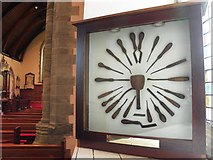 Cathedral in Raphoe TownparksCathedral · 4.3 mi
Explorer Tom Cathedral in Raphoe Townparks hides a 9th-century lintel right under your nose. It depicts St. Peter chopping an ear off, which is a bit of a violent detail for a church entrance, but it proves this spot has been holy chaos for over a millennium.
More historic places in County Donegal · All of County Donegal

What do you know about this place?Tap to add a comment or ask a question