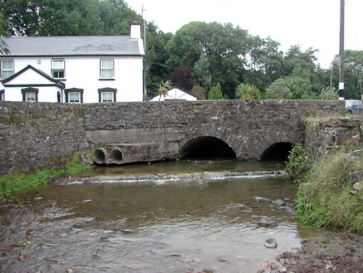
What is recorded here
Two-arch rubble stone road bridge over mill race, c.1820. Random rubble stone wall to south elevation with lime mortar, and cut-stone coping to parapet. Unpainted roughcast wall to north elevation with cut-stone coping to parapet. Pair of segmental arches with rubble stone voussoirs, and squared rubble stone soffits having render over. Sited spanning Greagagh River with random rubble stone abutment walls having lime mortar, section of mass-concrete, c.1945, to south-west, and cut-stone coping.
An appealing bridge of modest appearance, which enhances the quality of the townscape. The construction in unrefined rubble stone serves to integrate the structure into the surrounding landscape. The bridge forms an important element of the civil engineering heritage of County Waterford, as identified by the formation of the arches that have retained their original profile.
This does not grant access. Most recorded buildings are privately owned; view them only from public ground unless the owner allows entry.
Places near here
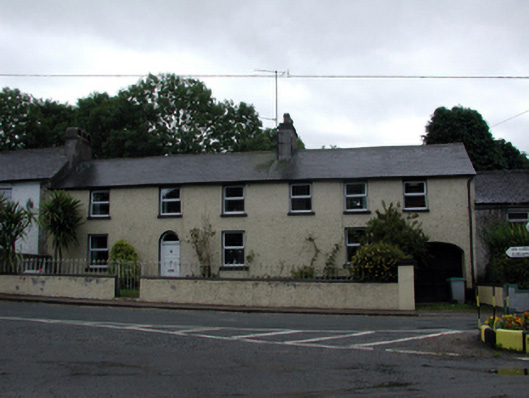 Coolbooa Househouse · 54 yd
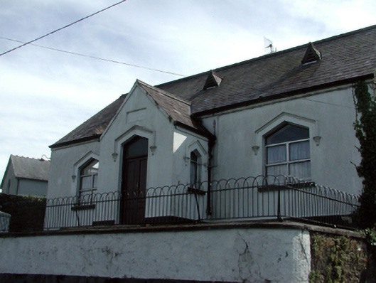 Clashmore National SchoolOfficially recorded historic building · 88 yd
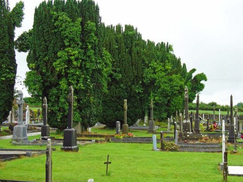 Grave YardGraveyard · 277 yd
 Clashmore Heritage CentreHeritage attraction · 328 yd
 Cross in ClashmoreCross · 338 yd
 Castle (in ruins)Castle, tower house · 1592 yd
 Kilmaloo LoughWood · 1.5 mi
 IndicatedBawn · 1.9 mi
 D'Loughtane WoodForest · 2.0 mi
 St Bridget's WellSpring · 2.5 mi
 Molana AbbeyHeritage attraction · 3.1 mi
 Youghal Foxhole Loop walkWalking route · 3.5 mi
Other information
Photo: National Inventory of Architectural Heritage · Website use allowed for educational or private purposes with source credit