What is recorded here
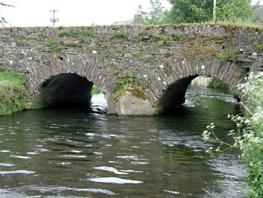
Two-arch rubble stone road bridge over river, c.1800, with triangular cut-water to south and rubble stone voussoirs. Random rubble stone walls with rubble stone coping. Rendered triangular cut-waters. Two round arches. Rubble stone voussoirs. Rubble stone soffits with render over. Sited spanning River Greese with grass banks to river.
This bridge is an attractive rubble stone bridge that forms a subtle feature on the River Greese and is one of a group of bridges on the section of that river that passes through County Kildare. The construction of the arches that have retained their original shape is of technical and engineering merit. The bridge exhibits good quality traditional stone masonry. The bridge is of considerable historical and social significance as a reminder of the road network development in Ireland in the late eighteenth/early nineteenth century.
This does not grant access. Most recorded buildings are privately owned; view them only from public ground unless the owner allows entry.
Places near here
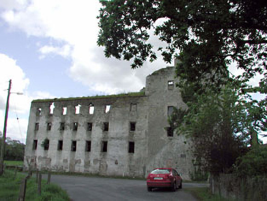 Ballitore Millsmill (water) · 25 yd
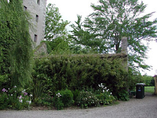 Griesebank Houseoutbuilding · 44 yd
 Enclosure in BallitoreEnclosure · 995 yd
 Enclosure in Crookstown UpperEnclosure · 1263 yd
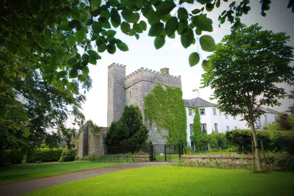 CastleCastle, unclassified · 1.3 mi
 Ballycore RathCastle, motte and bailey · 1.3 mi
 CrookanurnWood · 1.3 mi
 Spratstown Fox CovertWood · 1.6 mi
 Burtown House and GardensHeritage attraction · 2.6 mi
 Battle of Kilrushbattle · 4.5 mi
 Gorden Bennet Race memorialMemorial · 4.5 mi
 History of Moat of ArdscullVisitor information · 4.6 mi
Other information
Photo: National Inventory of Architectural Heritage · Website use allowed for educational or private purposes with source credit