What is recorded here
Magic and life become one when human cleverness and divine kindness meet. The fairies proved clever, but the woman proved human. She understood the request, answered the danger, and changed the story from a joke into a gift.
Internal diam. c. 18m. A much destroyed monument probably originally a double-banked ringfort. An arc (22m) of an earthen bank survives up to 1.25m in height on the W side. A possible outer bank and fosse may be discerned on this side also. The surviving remains suggest an internal diameter of roughly 18m. Situated on top of a grass-covered hill with good views on all sides.
The above description was derived from the 'Archaeological Survey of County Donegal. A description of the field antiquities of the County from the Mesolithic Period to the 17th century.' Compiled by: Brian Lacey with Eamon Cody, Claire Cotter, Judy Cuppage, Noel Dunne, Vincent Hurley, Celie O'Rahilly, Paul Walsh and Seán Ó Nualláin (Lifford: Donegal County Council, 1983). In certain instances the entries have been revised and updated.
Date of upload: 22 September 2008
The monument record does not grant public access. Check the route and ask the landowner before entering private land.
- What survives
- Recorded monument
Places near here
 Newtown Bridgebridge · 1.0 mi
 Legland Raised Fairy FortFairy fort / earthen ringfort · 1.1 mi
 ToberbrideHoly well · 1.1 mi
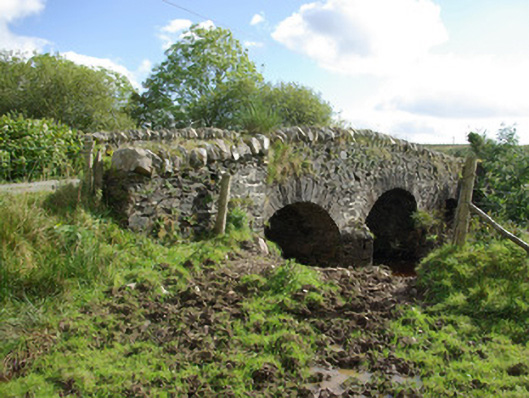 bridgebridge · 2.0 mi
 Bawn in Killynure OR Wilsons FortBawn · 3.1 mi
 Newmills Corn and Flax MillsHeritage attraction · 3.8 mi
 Site of Castle SollusCastle, unclassified · 3.8 mi
 Battle of Scarrifholisbattle · 3.8 mi
 Lurgybrack Open FarmHeritage attraction · 4.2 mi
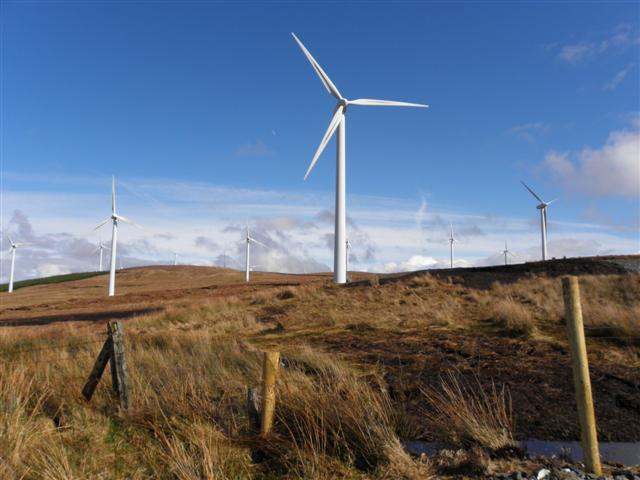 Three TopsMountain / peak · 5.4 mi
 Gorey HillMountain / peak · 5.5 mi
 Stackarnagh Abbey GraveyardGraveyard · 7.1 mi
Other information
Photo: Credit not shown in the picture search · Rights wording not checked; contact us if this picture should be removed