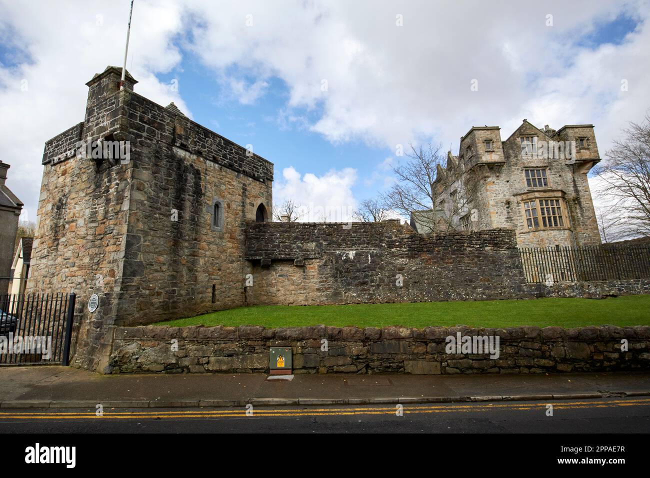
What is recorded here
Internal diam. c. 18m. A much destroyed monument probably originally a double-banked ringfort. An arc (22m) of an earthen bank survives up to 1.25m in height on the W side. A possible outer bank and fosse may be discerned on this side also. The surviving remains suggest an internal diameter of roughly 18m. Situated on top of a grass-covered hill with good views on all sides.
The above description was derived from the 'Archaeological Survey of County Donegal. A description of the field antiquities of the County from the Mesolithic Period to the 17th century.' Compiled by: Brian Lacey with Eamon Cody, Claire Cotter, Judy Cuppage, Noel Dunne, Vincent Hurley, Celie O'Rahilly, Paul Walsh and Seán Ó Nualláin (Lifford: Donegal County Council, 1983). In certain instances the entries have been revised and updated.
Date of upload: 22 September 2008
A local fairy fort (ringfort/rath); wider significance not recorded.
The monument record does not grant public access. Check the route and ask the landowner before entering private land.
- What survives
- Recorded monument
Places near here
 Newtown Bridgebridge · 1.0 mi
 Legland Raised Fairy FortFairy fort / earthen ringfort · 1.1 mi
 ToberbrideHoly well · 1.1 mi
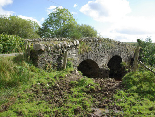 bridgebridge · 2.0 mi
 Bawn in Killynure OR Wilsons FortBawn · 3.1 mi
 Newmills Corn and Flax MillsHeritage attraction · 3.8 mi
 Site of Castle SollusCastle, unclassified · 3.8 mi
 Battle of Scarrifholisbattle · 3.8 mi
 Lurgybrack Open FarmHeritage attraction · 4.2 mi
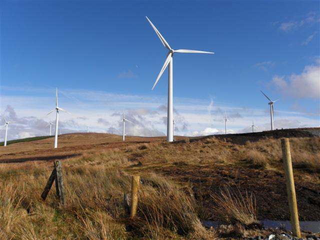 Three TopsMountain / peak · 5.4 mi
 Gorey HillMountain / peak · 5.5 mi
 Stackarnagh Abbey GraveyardGraveyard · 7.1 mi
Other information
Photo: Credit not shown in the picture search · Rights wording not checked; contact us if this picture should be removed