What is recorded here
Mortons and others have measured the fort, but measurement does not explain why the land shaped itself into a room. The chamber is forty metres wide, the wall two and a half metres high, and the entrance faces east as if waiting for light. Those facts leave the interesting part behind. They describe the visible edge of an intelligence still active beneath the hill.
In pasture, on S-facing slope. Circular area (40.3m NE-SW; 39.4m NW-SE) enclosed by earthen bank (H 2.7m); with external fosse (D 1.4m), waterlogged in parts. Entrance (Wth 2.8m) to E, with causeway. Cultivation ridges cross N half of interior on E-W axis.
The above description is derived from the published 'Archaeological Inventory of County Cork. Volume 1: West Cork' (Dublin: Stationery Office, 1992). In certain instances the entries have been revised and updated in the light of recent research.
Date of upload/revision: 14 January 2009
The monument record does not grant public access. Check the route and ask the landowner before entering private land.
- What survives
- Recorded monument
Places near here
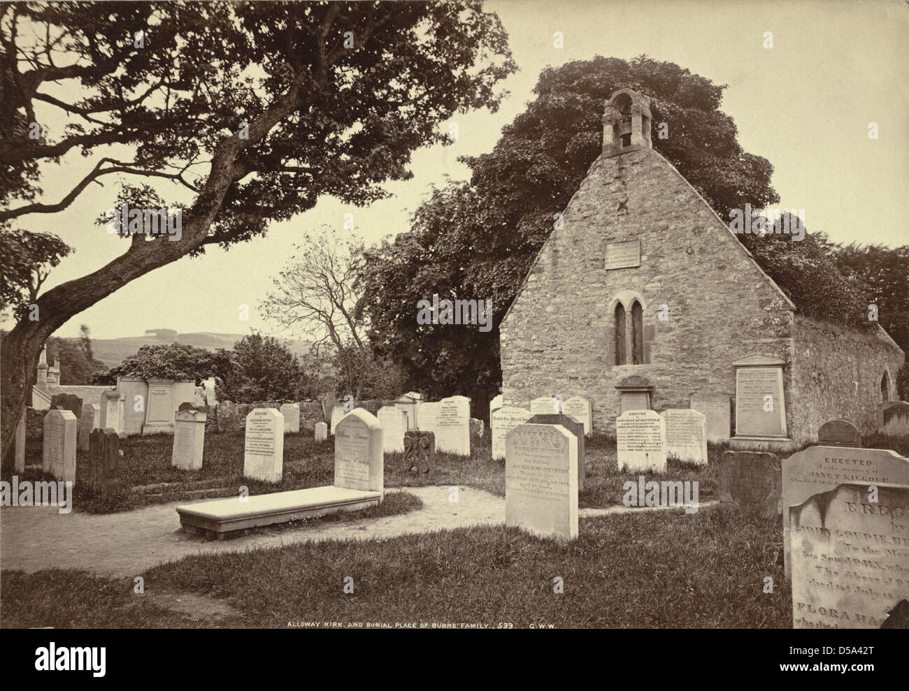 Childrens Burial Gd (Disused)Burial ground · 743 yd
 Rossmore Lodgehouse · 1537 yd
 Cummer FortFairy fort / earthen ringfort · 1700 yd
 Rossmore Castle (in Ruins)Castle, tower house · 1.3 mi
 Mannion's Island (Large)Islet · 1.4 mi
 Mannion's Island (Small)Islet · 1.4 mi
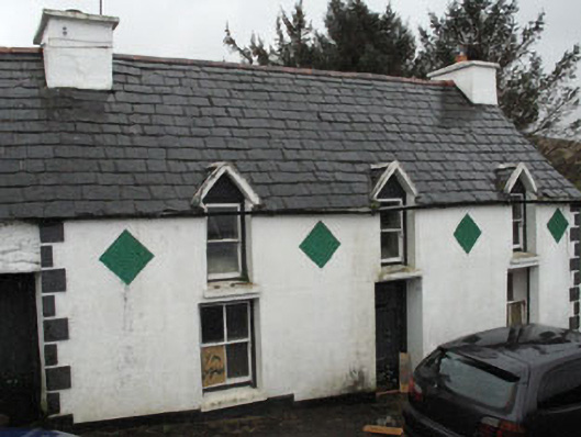 farm housefarm house · 1.6 mi
 Coolnalong Castle (in Ruins)House, fortified house · 1.6 mi
 Glanlough LoopWalking route · 1.8 mi
 Air India Flight 182 Crash MemorialMemorial · 2.1 mi
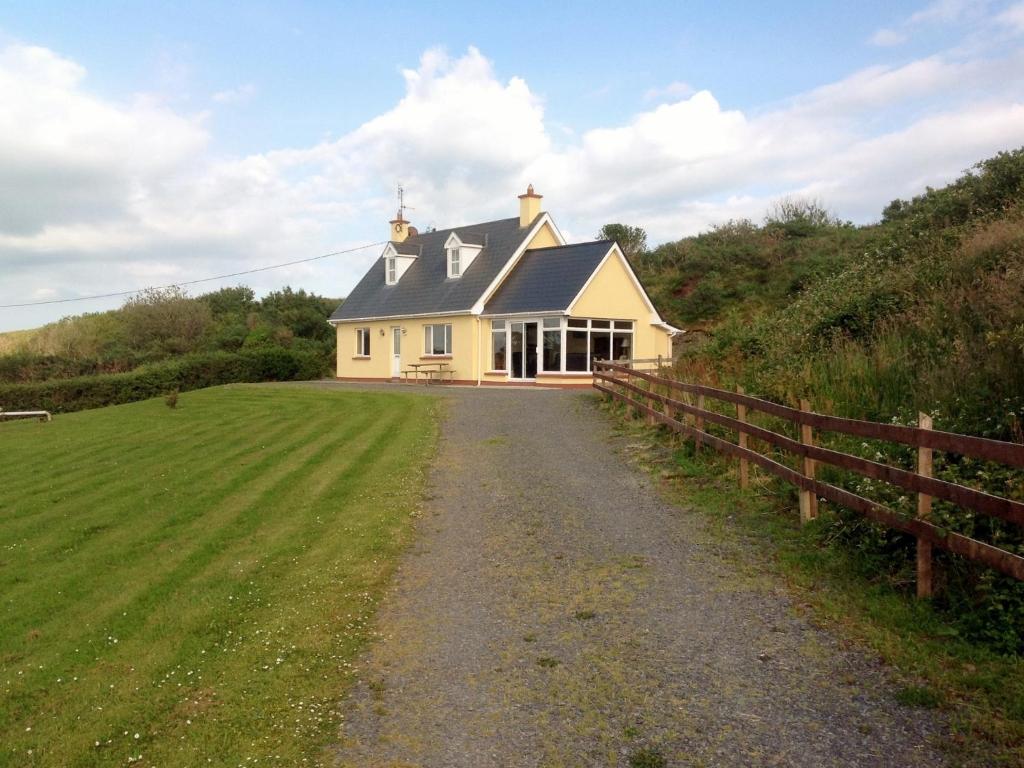 GouladaneMountain / peak · 2.2 mi
 Foilakilly LoopWalking route · 2.2 mi