What is recorded here
A town may have grown up around the Cistercian abbey (RO006-068005-) after its foundation in the 12th century, but evidence of a town cannot be discerned before the late 16th century when it became an important location for the Dublin government on the road from Athlone to Sligo and in the conquest of Connaught and Ulster. A garrison was placed in the Abbey from 1595 until 1607 when the artillery fort (RO006-068001-) was built incorporating part of a prehistoric barrow (RO006-068002-). The abbey withstood sieges by O'Donnell in 1596-7 and 1599-1600. The town was granted to Joseph Bingley and Joseph King in 1603, and was incorporated as a borough in 1613. Although probably not walled, it continued to be garrisioned throughout the 17th century, and returned two members of Parliament until 1800.
The remains consist of the abbey (RO006-068005-) and the nearby bridge (RO006-068007-), and the bastioned fort (RO006-068001-). Archaeological testing has failed to produce evidence of the orginal settlement (Conway 2002; Timoney, M. A. 2002; Henry 2003; Timoney, M. A. 2003; Read 2004l), apart from one N-S boundary wall (RO006-068008-) (Wth 0.7m; H 1.2m; L 12.6m plus) (Carey 2004a; Timoney 2004). (Bradley and Dunne 1988a)
Compiled by: Michael Moore
Date of upload: 24 August 2010
The monument record does not grant public access. Check the route and ask the landowner before entering private land.
- What survives
- Recorded monument
Places near here
 James Mullanyhouse · 29 yd
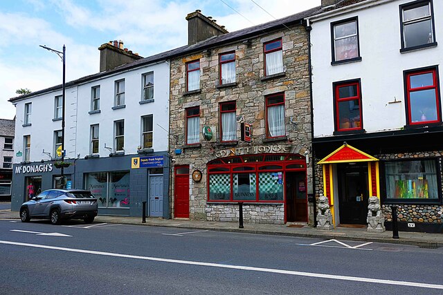 Heran'shouse · 45 yd
 King William MemorialMonument · 255 yd
 IndicatedBastioned fort · 361 yd
 Brothers SculptureMonument · 413 yd
 Boyle AbbeyHeritage attraction · 496 yd
 Battle of Curlew PassMajor battlefield · 1.8 mi
 Battle of the Curlew Mountains (1599)Battlefield · 1.8 mi
 Bingham IslandIslet · 1.9 mi
 Erris BayBay · 2.0 mi
 Trinity IslandIslet · 2.3 mi
 Lough Key Forest ParkWood · 2.5 mi