What is recorded here
Situated on the level base of a broad N-S orientated valley on the summit of King's Mountain. The site is located on immediately to the W of a meander in a NNW-SSE flowing stream in boggy pasture that marks the boundary between Slievemore or Kingsmountain and Glen Upper townlands. It is not marked on the 1837 edition of the OS 6-inch map but is indicated on the 1913 edition of the OS 6'' map as a 'Mound'. There is no visible surface trace of any archaeological feature now visible at this location.
Compiled by: Patrick F. O'Donovan
Date of upload: 21 April 2011
A Neolithic boundary mound; likely dates to the early to middle Neolithic period (c. 4000–3000 BCE). It may represent an early form of territorial demarcation or ritual boundary feature, significant for understanding early land use and social organization in the region.
The monument record does not grant public access. Check the route and ask the landowner before entering private land.
- What survives
- Recorded monument
Places near here
 Gleniff Barytes MineRuins · 1133 yd
 Noble 6 MonumentMonument · 1750 yd
 Annacoona TopMountain / peak · 1.1 mi
 Kings MountainMountain / peak · 1.3 mi
 Glencar Lough ViewpointViewpoint · 1.4 mi
 Dermot & Grania's BedCave · 1.5 mi
 Enclosure in LislahellyEnclosure · 1.5 mi
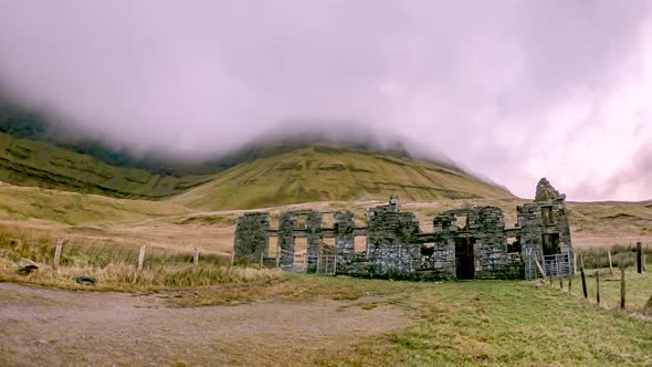 Gleniff School RuinsRuins · 1.6 mi
 BenbulbenMountain · 2.0 mi
 Doneen WestCliff · 2.2 mi
 Memorial Francis FinnMemorial · 2.4 mi
 Glencar WaterfallVisitor information · 2.4 mi