What is recorded here
On isolated patch of pasture at SW foot of Mass Mount. Flat-topped slab (2.1m x 2.1m; T 0.8m) resting above at least three support stones. Standing stone (CO116-00702-) 1.5m to E. (Ó Nualláin 1978, 91, no. 20)
The above description is derived from the published 'Archaeological Inventory of County Cork.
From the National Monuments Service (Archaeological Survey of Ireland) record CO116-007001
The monument record does not grant public access. Check the route and ask the landowner before entering private land.
- What survives
- Recorded monument
Places near here
Photo credits
- National Inventory of Architectural Heritage
- Richard Webb, Geograph · CC BY-SA 2.0
- Jeff Buck, Geograph · CC BY-SA 2.0
- Adriaen van Diest, Wikimedia Commons · Public domain
Stone CircleHut site · 780 ydHungry Hill GalleryGallery · 936 yd Adrigole HouseRectory/glebe/vicarage/curate's house · 939 ydhotel986 ydMetal Foundry (in Ruins)Metalworking site · 989 ydWest Cork Sailing & Powerboating CentreHeritage attraction · 1184 ydGraveyard in DrumlaveGraveyard · 1411 ydOrthon's IslandIslet · 1463 ydAdrigole MountainMountain / peak · 1.2 miMare's Tail WaterfallViewpoint · 2.5 miBattle of Bantry BayMajor battlefield · 2.9 miKnockowenMountain / peak · 3.3 mi
 Adrigole HouseRectory/glebe/vicarage/curate's house · 939 yd
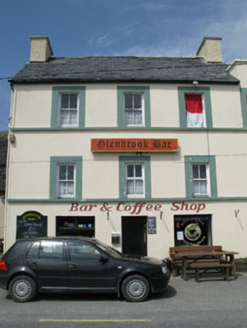 hotel986 ydMetal Foundry (in Ruins)Metalworking site · 989 ydWest Cork Sailing & Powerboating CentreHeritage attraction · 1184 ydGraveyard in DrumlaveGraveyard · 1411 ydOrthon's IslandIslet · 1463 yd
 Adrigole MountainMountain / peak · 1.2 mi
 Mare's Tail WaterfallViewpoint · 2.5 mi
 Battle of Bantry BayMajor battlefield · 2.9 mi
 KnockowenMountain / peak · 3.3 mi
More archaeology and monuments in County Cork · All of County Cork
What do you know about this place?