What is recorded here
Situated 13m N and 25m E of Glenreemore Brook in upland area. This stream marks the boundary with Knocknadroose townland. Present remains consist of the bracken covered walls of a rectangular-shaped hut site or booley site. This appears to be the Booley hut described in 1949 by Liam Price (Corlett and Weaver 2002, 509) as following: 'Coming down near the Glanreemore Brook, Burke showed me two more rectangular foundations or enclosures of stones, like the Boolia House (WM016-015001-), and about the same size, on the slope above the bog'.
Compiled by: Caimin O'Brien based on information provided by Barry Dalby
Date of upload: 22 March 2017
The monument record does not grant public access. Check the route and ask the landowner before entering private land.
- What survives
- Recorded monument
Places near here
 Cross in KnocknadrooseCross · 451 yd
 Art O'Neill PlaqueMemorial · 1.2 mi
 Art O'Neill CrossMemorial · 1.5 mi
 Templefinan Grave Yard (Disused)Church · 1.6 mi
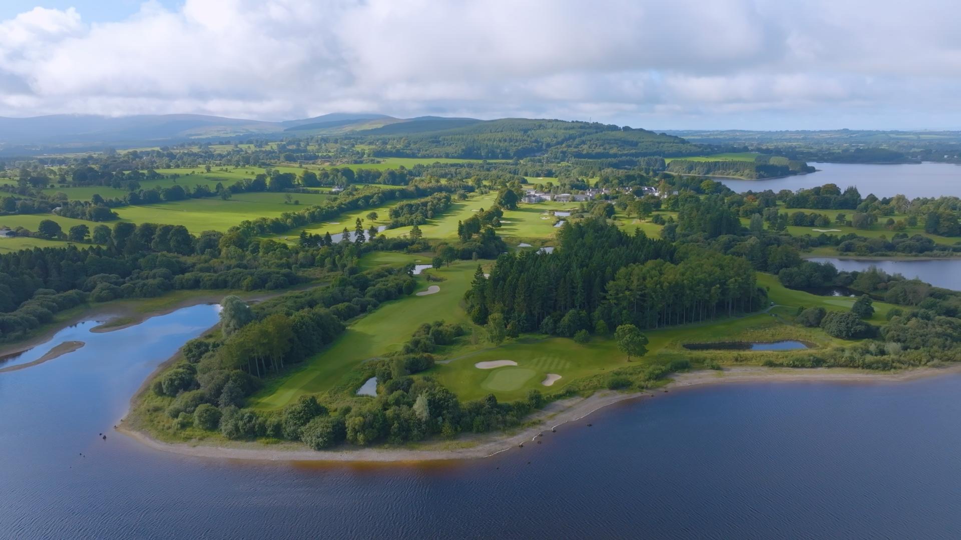 IndicatedEcclesiastical enclosure · 1.6 mi
 Hollywood Horse and Pony TrekkingHeritage attraction · 1.6 mi
 Table MountainMountain / peak · 2.2 mi
 Fair MountainMountain / peak · 2.3 mi
 Wicklow GapMountain pass · 3.2 mi
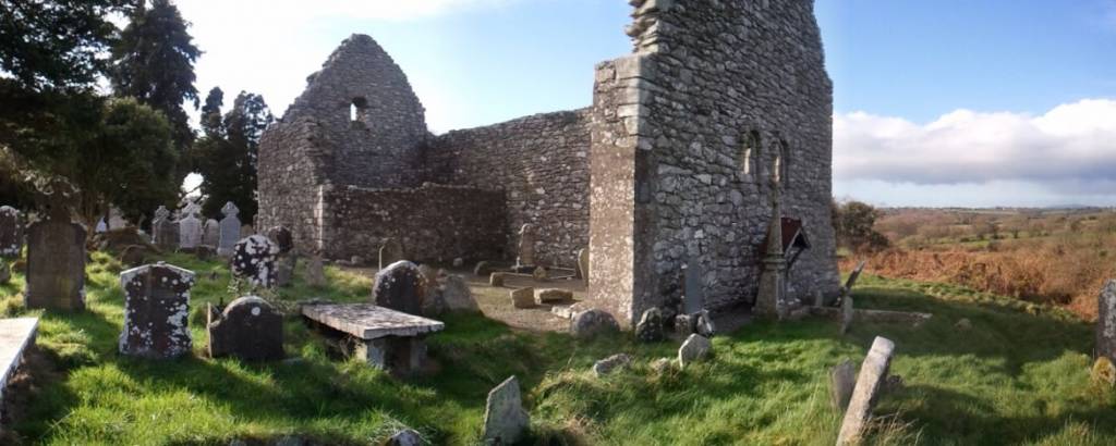 Church in AnnacarneyChurch · 3.3 mi
 Baravore Valley LowerCliff · 4.4 mi
 AbseilCliff · 4.6 mi