
Places near here
Photo credits
- National Inventory of Architectural Heritage
- Bing image result, image search
- Andreas F. Borchert, Wikimedia Commons · CC BY-SA 4.0
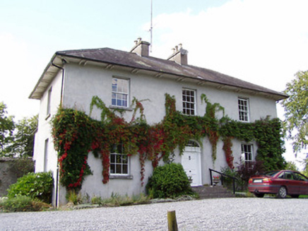 BeechmountHouse · 523 yd
Explorer Tom Beechmount would win a county fair by simply existing and looking incredibly polished with its Ionic pilasters and…
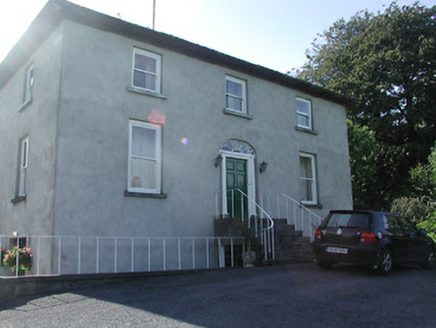 Mount DudleyHouse · 1066 yd
Explorer Tom Mount Dudley in Irby has a secret it would spill after three pints: it thinks its Doric doorway is actually a work of…
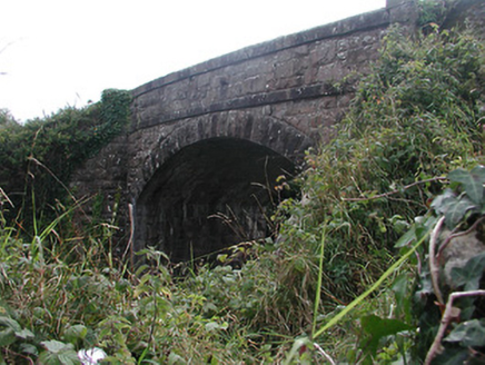 bridge1171 yd
Explorer Tom Bridge in Townparks sits right next to the old railway line, probably judging your walking pace as you go by. Someone…
 CherryhillHouse · 1214 yd
Explorer Tom Cherryhill in Raheens has a hidden treasure that is definitely a biscuit tin, tucked away behind those fish-scale…
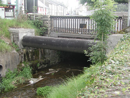 Burgoo BridgeBridge · 1291 yd
Explorer Tom Burgoo Bridge would be the uncle at a wedding who knows too much about concrete construction from 1898. It stands on…
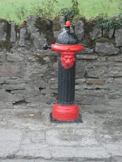 water pump1380 yd
Explorer Tom The water pump in Townparks is locked in a cold war with the rain, refusing to let it take credit for hydration. That…
 Abbey HouseHouse · 1412 yd
Explorer Tom Abbey House in Parkmore had a bad poem written about it once, but it’s too proud to admit it because its render quoins…
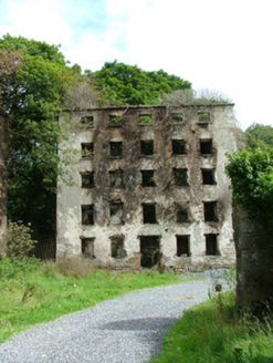 Hillsborough Corn MillsMill (water) · 1501 yd
Explorer Tom Hillsborough Corn Mills stands there looking imposing, like it’s judging your bread-buying habits from across the River…
 C. HennessyHouse · 1522 yd
Explorer Tom C. Hennessy in Roscrea has a pub-front that looks like it’s ready for a night out, even if nobody’s home. There was a…
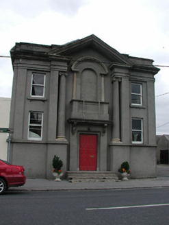 Abbey HallHall · 1543 yd
Explorer Tom Abbey Hall in Roscrea has a long-standing grudge against the weather, mostly because it keeps trying to chip off its…
 Ballyskenagh GAA pitchGAA ground · 1632 yd
 Round Tower1754 yd
Explorer Tom This round tower claims to be older than time itself, which is total nonsense but fun. It got hit by lightning once and…
More archaeology and monuments in County Tipperary · All of County Tipperary

What do you know about this place?Tap to add a comment or ask a question