What is recorded here
The extent of this old roadway is indicated on the first edition of the OS 6-inch map where it is annotated as 'Bohernatawnagh' and shown running from SW-NE for a distance of 1.8km. The roadway is shown running parallel to the townland boundary between Collinstown and Ballynagall and Johnstown. The site was recorded in 1981 as 'There are no indications of a road or track running on the ground. The area indicated is a line of field fences, these also form a townland boundary. It is possible that there was formerly a trackway there. A visit in Autumn when the vegetation is lower might reveal some surviving indications of a track' (SMR file 1981).
Compiled by: Caimin O'Brien
Date of upload: 21 October 2010
The monument record does not grant public access. Check the route and ask the landowner before entering private land.
- What survives
- Recorded monument
Places near here
 CaltraghEcclesiastical enclosure · 1357 yd
 Corn Mill, Mill PondWater mill, unclassified · 1414 yd
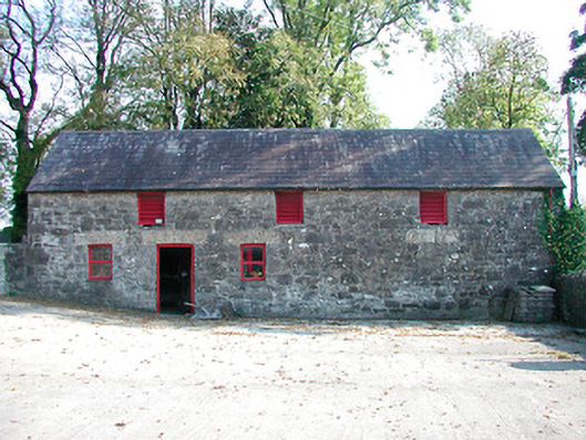 outbuildingoutbuilding · 1446 yd
 CastleCastle, tower house · 1525 yd
 Hut site in CummerstownHut site · 1.1 mi
 Castle IslandIslet · 1.5 mi
 The FurzeForest · 1.7 mi
 MoatCastle, motte and bailey · 2.1 mi
 Ben of ForeMountain / peak · 2.1 mi
 South East GateHeritage attraction · 2.1 mi
 Noggin HillMountain / peak · 2.3 mi
 St Feichin's MillHeritage attraction · 2.3 mi