What is recorded here
In gently rolling terrain of low hills and hollows, mostly under reclaimed pasture. The OS Letters (1839) mention that they were shown by the locals, 'a piece of an old road in the same Townland [Borrismore] extending about a quarter of a mile [c. 400m] in length and thirty two feet [c. 10m] in breadth, and say that it was made by Saint Kieran from the Church of Feartagh to Callan' (O'Flanagan ed. 1930, vol. 1, 109 (36)). The line of the road appears to follow a N-S hollow running between low hillocks on either side, though it is otherwise not visible at ground level. It is visible as a cropmark on an aerial photograph (CUCAP BDL036, 15 July 1970), appearing as a lighter gently curving linear feature defined by a darker line on either side, suggestive of a fosse on either side.
See attached photograph:
KK012-008----_01 CUCAP BDL036, 15 July 1970
Compiled by: Jean Farrelly
Date of upload: 15 May 2019
The monument record does not grant public access. Check the route and ask the landowner before entering private land.
- What survives
- Recorded monument
Places near here
 Ardaneena Church (in ruins)Church · 569 yd
 Enclosure in Donaghmore LowerEnclosure · 704 yd
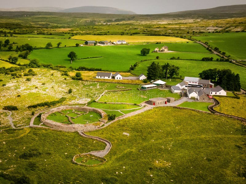 Borrismore Ringfort (Rath)Archaeological place · 818 yd
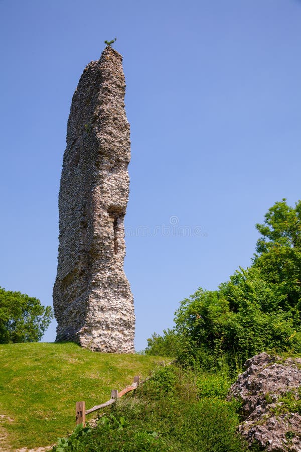 CastleCastle, ringwork and bailey · 1572 yd
 The Old Rectoryrectory/glebe/vicarage/curate's house · 1.1 mi
 John HelyMemorial · 1.4 mi
 TurretBawn · 1.4 mi
 DelaneyMemorial · 1.5 mi
 Clomantagh HillMountain / peak · 2.0 mi
 Kildrinagh WoodForest · 3.5 mi
 Street fieldArchaeological place · 4.3 mi
 Anker's IslandIsland · 10 mi