
What is recorded here
Known as the Bocan stone circle the site now consists of seven standing stones, 1m-2m high, and a few fallen and broken stones partially enclosing a subcircular area c. 20m in diameter. The stones are all concentrated in the NW and SE quadrants. Shaw Mason (1816, 180) described twelve upright stones which formed part of a circle of sixty feet diameter and went on to say that 'graves' containing 'earthen urns' have frequently been discovered at Bocan. In the SW quadrant there is a track, possibly the result of livestock using stones (now removed?) as scratching posts. The interior of the circle as well as sections of the perimeter are confused by field clearance stones. No trace exists of the two possible outliers noted as being to the E of the circle (Swan 1949, 113). The site is situated on the W slopes of a low hill, in a large recently reclaimed grazing field, with extensive views on all but the E side. The above description was derived from the 'Archaeological Survey of County Donegal. A description of the field antiquities of the County from the Mesolithic Period to the 17th century.' Compiled by: Brian Lacey with Eamon Cody, Claire Cotter, Judy Cuppage, Noel Dunne, Vincent Hurley, Celie O'Rahilly, Paul Walsh and Seán Ó Nualláin (Lifford: Donegal County Council, 1983).
Known as the Bocan stone circle the site now consists of seven standing stones, 1m-2m high, and a few fallen and broken stones partially enclosing a subcircular area c. 20m in diameter. The stones are all concentrated in the NW and SE quadrants. Shaw Mason (1816, 180) described twelve upright stones which formed part of a circle of sixty feet diameter and went on to say that 'graves' containing 'earthen urns'…
From the National Monuments Service (Archaeological Survey of Ireland) record DG012-004
The monument record does not grant public access. Check the route and ask the landowner before entering private land.
- What survives
- Recorded monument
Places near here
Photo credits
- National Inventory of Architectural Heritage
- Kenneth Allen, Wikimedia Commons · CC BY-SA 2.0
- Andreas F. Borchert, Wikimedia Commons · CC BY-SA 4.0
- Wanfried-Dublin, Wikimedia Commons · CC BY-SA 4.0
- James Emmans, Geograph · CC BY-SA 2.0
- Corinna Schleiffer, Wikimedia Commons · CC BY-SA 2.0
- Patrick Mackie, Geograph · CC BY-SA 2.0
- Attila Terbócs, Wikimedia Commons · CC BY-SA 3.0
- Kenneth Allen, Geograph · CC BY-SA 2.0
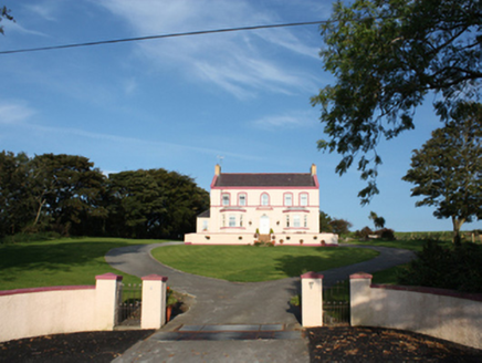 presbytery/parochial/curate's house142 yd
 St. Mary's Catholic ChurchChurch/chapel · 396 yd
 Laraghirril Court TombCourt tomb · 893 yd
.jpg/250px-Knockergrana_(5).jpg "Photo: Wanfried-Dublin, Wikimedia Commons · CC BY-SA 4.0") Former site of Knockergrana Court TombCourt tomb · 1170 yd
Former site of Knockergrana Court TombCourt tomb · 1170 yd CuldaffOfficial bathing water · 1.5 mi
 CastleCastle, unclassified · 2.1 mi
 Tremone BayBeach / strand · 3.1 mi
 CrockavishaneMountain / peak · 5.1 mi
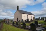 Carndonagh Early Church GraveyardGraveyard · 5.1 mi
 CrockaulinMountain / peak · 6.2 mi
 Cooley CrossMemorial · 6.7 mi
 Inishowen Maritime Museum and PlanetariumMuseum · 8.0 mi
More archaeology and monuments in County Donegal · All of County Donegal
What do you know about this place?