
What is recorded here
Recorded construction date: 1820 - 1839. Current recorded use: Bridge.
From the Northern Ireland Historic Buildings Record record HB11/07/004
The official record and map point do not grant access. Many historic buildings are privately owned; view them only from public ground unless the owner allows entry.
Places near here
Photo credits
- Kenneth Allen, Wikimedia Commons · CC BY-SA 2.0
- Kenneth Allen, Geograph · Creative Commons Attribution-ShareAlike 2.0
- Kenneth Allen, Geograph · CC BY-SA 2.0
- Jeanne Boleyn ( talk ), Wikimedia Commons · Public domain
- Gordon Dunn, Wikimedia Commons · CC BY-SA 2.0
 Bridge at the LeapBridge · 1513 yd
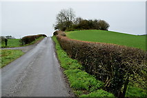 Rath in CamowenRath · 1.0 mi
 Railway BridgeBridge · 1.1 mi
 Church & graveyard in Drumragh (caldwell)Church & Graveyard · 1.6 mi
 Platform rath in CrannyPlatform Rath · 1.8 mi
 Omagh bombingTruck bombing · 2.6 mi
 MullaghcarnMountain / peak · 7.2 mi
 History of Gortin Glen ForestVisitor information · 7.6 mi
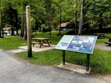 Gortin Glen Forest ParkVisitor information · 7.7 mi
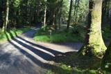 Gortin Glen Forest ParkHeritage attraction · 7.7 mi
 Graveyard: relignaman or relicknaman from relig na mban The Women's' Graveyard in CarrickmoreGraveyard: relignaman or relicknaman from relig na mban The Women's' Graveyard · 7.8 mi
 C17th defended house & bawn: trillick castle in Castlemervyn DemesneC17th Defended House & Bawn: Trillick Castle · 12 mi
More historic places in County Tyrone · All of County Tyrone
What do you know about this place?