
What is recorded here
From OpenStreetMap (© OpenStreetMap contributors) n6372563072
Places near here
Photo credits
- Maker not stated on source page, uk.pinterest.com
- Maker not stated on source page, en.wikipedia.org
- Roger Diel, Wikimedia Commons · CC BY-SA 2.0
- Roger Diel, Geograph · CC BY-SA 2.0
- The Banner, Wikimedia Commons · CC BY-SA 4.0
- Kmcnamee, Wikimedia Commons · CC BY-SA 4.0
- The Banner, Wikimedia Commons · CC BY-SA 3.0
- Maker not stated on source page, www.alamy.com
- WikiDon at English Wikipedia, Wikimedia Commons · CC BY-SA 3.0
- Gordon Hatton, Geograph · CC BY-SA 2.0
- Chris, Geograph · CC BY-SA 2.0
 Holy well in CarrowntedaunHoly well · 1069 yd
Explorer Tom Holy well in Carrowntedaun sits on a cliff edge, judging everyone who trips over their own feet nearby. It’s got a…
 Fairy fort / earthen ringfort in Aillbrack,toorFairy fort / earthen ringfort · 1573 yd
Explorer Tom Aillbrack Toor's rath is the awkward uncle at every wedding. It stands there in a muddy corner, hoping nobody notices…
 Moy CastleRuins · 1724 yd
Explorer Tom Moy Castle once smuggled an entire library of forbidden romance novels by hiding them inside hollow stones. The local…
 Moy Castle (in Ruins)Castle, unclassified · 1733 yd
Explorer Tom Moy Castle is playing hide-and-seek with me and winning big time, honestly it’s cheekier than most tourists I’ve met…
 Saint Mary's Catholic ChurchChurch/chapel · 1.2 mi
Explorer Tom Saint Mary's Catholic Church in Moy Beg is a double-height church that added a porch in 1970 because apparently it…
 Moy GAA pitchGAA ground · 1.4 mi
 Moy HouseHouse · 1.5 mi
Explorer Tom Moy House is trying to impress you with its three-storey tower, which feels a bit like wearing a tuxedo to a barbecue.…
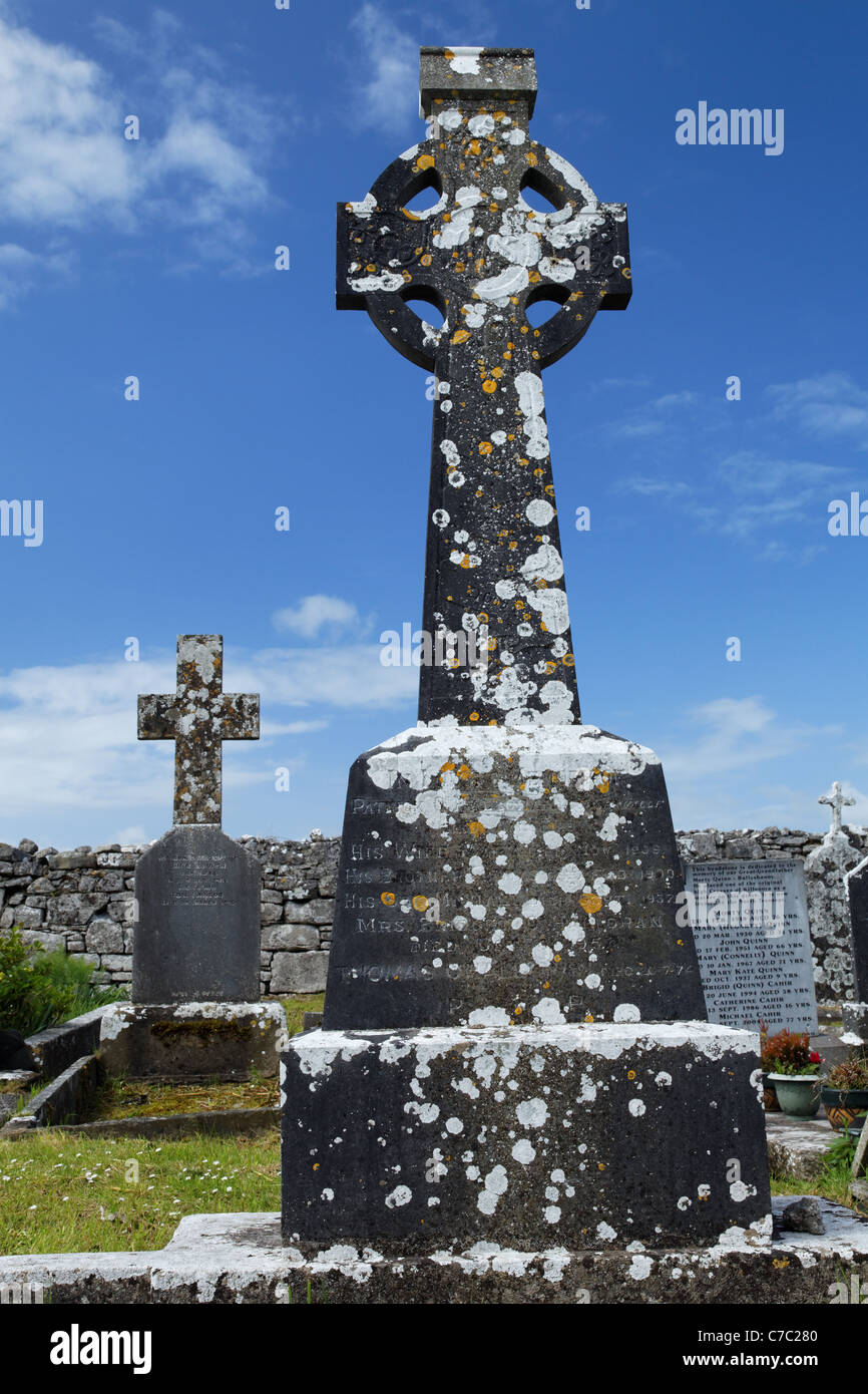 Graveyard in KilfarboyGraveyard · 1.5 mi
Explorer Tom Graveyard in Kilfarboy probably took forty cups of tea to build, I’m guessing. No records, so I’m making it up as I go.…
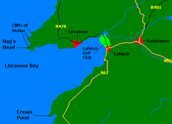 Liscannor BayBay · 1.8 mi
Explorer Tom Liscannor Bay is a great big Atlantic grin on County Clare's coast, with Liscannor village on one side and the sand at…
 Cream PointHeadland · 3.8 mi
Explorer Tom Cream Point would survive a zombie attack simply by being too delicious for them to ignore at first. They’d get…
Liscannor GAA pitchGAA ground · 4.3 mi Spanish PointVisitor information · 4.8 mi
Explorer Tom Sightseeing Cliffs of Moher South has a real opinion on tourists from Dublin, thinking they’re all a bit too eager to…
More mountains and hills in County Clare · All of County Clare

What do you know about this place?Tap to add a comment or ask a question