
What is recorded here
On a cliff edge just S of a small beach some 3km S of Lahinch. A spring well, immediately inside a field wall, indicated and named ‘Well’ on the OS 25-inch map. It is enclosed by a wall built of mortared sea-rolled stones. A cross stands over the well with an inscription that reads ‘St. Senan’s Holy Well, 2003’.…
Read the whole record
From the National Monuments Service (Archaeological Survey of Ireland) record CL023-067
Places near here
Photo credits
- The Banner, Wikimedia Commons · CC BY-SA 3.0
- Roger Diel, Wikimedia Commons · CC BY-SA 2.0
- Roger Diel, Geograph · CC BY-SA 2.0
- Maker not stated on source page, en.wikipedia.org
- The Banner, Wikimedia Commons · CC BY-SA 4.0
- Maker not stated on source page, www.wikidata.org
- Kmcnamee, Wikimedia Commons · CC BY-SA 4.0
- WikiDon at English Wikipedia, Wikimedia Commons · CC BY-SA 3.0
- Maker not stated on source page, www.tripadvisor.ie
- Maker not stated on source page, www.nationalgeographic.com
- Golfing in Ireland; photographer not stated, Source publisher
- Gordon Hatton, Geograph · CC BY-SA 2.0
 Moy HouseHouse · 1.2 mi
Explorer Tom Moy House is trying to impress you with its three-storey tower, which feels a bit like wearing a tuxedo to a barbecue.…
 Moy CastleRuins · 1.2 mi
Explorer Tom Moy Castle once smuggled an entire library of forbidden romance novels by hiding them inside hollow stones. The local…
 Moy Castle (in Ruins)Castle, unclassified · 1.2 mi
Explorer Tom Moy Castle is playing hide-and-seek with me and winning big time, honestly it’s cheekier than most tourists I’ve met…
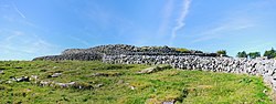 Fairy fort / earthen ringfort in Aillbrack,toorFairy fort / earthen ringfort · 1.3 mi
Explorer Tom Aillbrack Toor's rath is the awkward uncle at every wedding. It stands there in a muddy corner, hoping nobody notices…
 Saint Mary's Catholic ChurchChurch/chapel · 1.3 mi
Explorer Tom Saint Mary's Catholic Church in Moy Beg is a double-height church that added a porch in 1970 because apparently it…
 Fairy fort / earthen ringfort in Moy MoreFairy fort / earthen ringfort · 1.5 mi
Explorer Tom Fairy fort / earthen ringfort in Moy More is where the Vikings got lost because they forgot their maps. They probably…
 Moy GAA pitchGAA ground · 1.5 mi
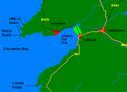 Liscannor BayBay · 1.5 mi
Explorer Tom Liscannor Bay is a great big Atlantic grin on County Clare's coast, with Liscannor village on one side and the sand at…
 Lahinch BeachVisitor information · 2.0 mi
Explorer Tom Lahinch Beach is acting mighty suspicious of the postman, hiding under its sand like a shy secret that just doesn't…
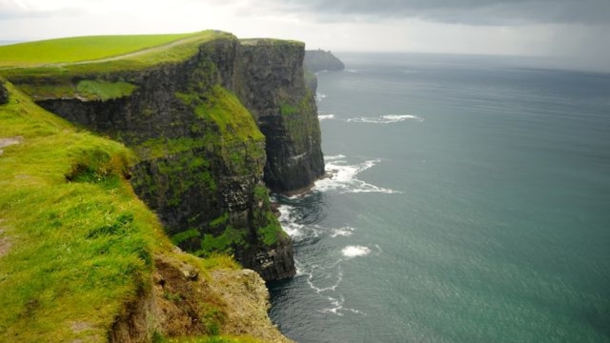 Green IslandIslet · 2.2 mi
Explorer Tom Green Island in County Clare is secretly friends with a famous rock band who use it as their secret rehearsal space…
 Lahinch Golf ClubGolf course · 2.2 mi
 Freagh IslandIslet · 3.5 mi
Explorer Tom Freagh Island in County Clare would win first prize at the county fair for best looking small rock in a hurry. It’s got…
More archaeology and monuments in County Clare · All of County Clare

What do you know about this place?Tap to add a comment or ask a question