What is recorded here
In the field surrounding Foyoges church and graveyard (SL035-067001-; SL035-067002-) and c. 30m NE of the graveyard. Named 'Bishop's Grave' on the 1914 OS 6-inch map and indicated as a small oval feature (L c. 10m E-W; Wth c. 5m). There are no visible remains of this grave. Praying stones (SL035-067005-) have been found on a stone bench surrounding a tree at this location; a portion of an 18th-century table-tomb or chest-tomb was also noted here (pers. comm. M. B. Timoney).
The above description is derived from the published 'Archaeological Inventory of County Sligo' compiled by Ursula Egan, Elizabeth Byrne, Mary Sleeman with Sheila Ronan and Connie Murphy (Dublin Stationery Office, 2005).
Date of upload: 18 January 2008
This remains an important historical record, but the official description says the monument is no longer visible or has been destroyed. The monument record does not grant public access. Check the route and ask the landowner before entering private land.
- What survives
- No visible remains or recorded as destroyed
Places near here
 Ritual siteRitual site, holy/saint's stone · 1 yd
 Foyoges Bridgebridge · 88 yd
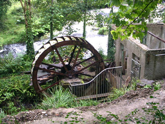 hydroelectric power stationhydroelectric power station · 102 yd
 IndicatedEnclosure · 1513 yd
 Geevagh Prisoners 1908 MemorialMemorial · 1.0 mi
 Josie McDermott MemorialMemorial · 1.6 mi
 Green IslandIslet · 2.2 mi
 Roundhouse Hill WoodForest · 2.3 mi
 Black WoodForest · 2.4 mi
 Barroe NorthMountain / peak · 2.8 mi
 Stony IslandIslet · 3.1 mi
 Carrane HillCliff · 3.2 mi