
What is recorded here
Big Fort is a vast ceremonial enclosure on Saddle Hill overlooking Lough Melvin, where a faded inner bank and deeper outer ridge still trace a circle wide enough for hundreds of people to walk together. The missing entrance and bare grass suggest the site served ritual gathering rather than defensive living, while nearby barrows imply death and ceremony shared the same horizon. A lane now cuts through part of the ancient fosse, reminding visitors that the fort has never stopped being used, only changed the kind of traffic it receives.
Situated on a slight NE-SW ridge on the lower NW-facing slope of Saddle Hill, and overlooking Lough Melvin which lies to the NE. This is a grass-covered circular area (int. diam. 113m N-S; 109m E-W) defined by an earthen bank (Wth 3m; H 0.3m) N-E, which is mainly reduced to a scarp elsewhere. The bank is separated by a fosse (Wth at S 4m; at E 7m) from an outer bank (Wth 3.2m; H 1.2m at N). A lane occupies the fosse NW-N-SE and there is a limestone standing stone (H 0.7m) which is probably not ancient in the NE quadrant of the enclosure. An original entrance is not identified. A ring-barrow (LE008-003---) and mound barrow (LE008-002---) are c. 80m to the NNE and c. 90m to the N respectively.
See the attached aerial view taken from the N.
The above description is derived from 'The Archaeological Inventory of County Leitrim' compiled by Michael J. Moore (Dublin: Stationery Office, 2003). In certain instances the entries have been revised and updated in the light of recent research.
Date of upload: 23 September 2008
The monument record does not grant public access. Check the route and ask the landowner before entering private land.
- What survives
- Recorded monument
Places near here
 Church in DerrynahimmirkChurch · 1262 yd
 Saddle HillMountain / peak · 1391 yd
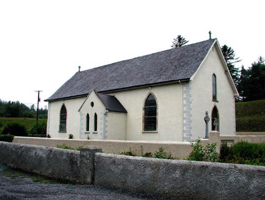 Saint Aidan's Catholic Churchchurch/chapel · 1.4 mi
 Mass-rock in DerrynahimmirkMass-rock · 1.5 mi
 Fowley's FallsPicnic place · 1.5 mi
 IndicatedEnclosure · 1.7 mi
 Giant's GraveArchaeological place · 2.3 mi
 Dough MountainMountain / peak · 2.5 mi
 Kilroosk RockNamed rock · 2.6 mi
 Ross PointHeadland · 3.0 mi
 Ashisland WoodForest · 4.2 mi
 Sally IslandIslet · 4.5 mi
Other information
Photo: Credit not shown in the picture search · Rights wording not checked; contact us if this picture should be removed