
What is recorded here
Faughnan (1943) recorded that 'in the corner of a small triangular field there is pointed out the site of a church supposed to have been built by St. Molaise. . . .’There are some stones on the site, overgrown by grass and bushes, but they seem to have at one time formed part of a wall and can be vaguely traced for a distance of about 15 feet. At right-angles to this line of stones there can be traced, at ground level, the slight remains of a second wall. Traceable for about seven feet.' This monument was described as 'distant one field' from that which contains the holy well (LE005-017----). Although the well is known the location of this monument is not.
Compiled by: Michael Moore
Date of upload: 7 January, 2015
A local church; traditionally attributed to St. Molaise, likely early medieval in date; limited physical remains survive.
The monument record does not grant public access. Check the route and ask the landowner before entering private land.
- What survives
- Recorded monument
Places near here
 Big FortCeremonial enclosure · 1262 yd
 Mass-rock in DerrynahimmirkMass-rock · 1421 yd
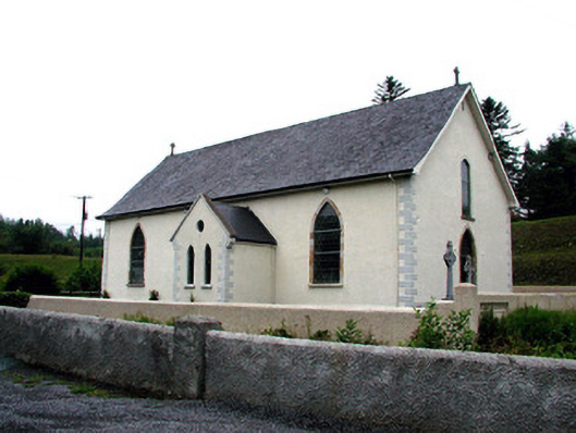 Saint Aidan's Catholic Churchchurch/chapel · 1422 yd
 Fowley's FallsPicnic place · 1480 yd
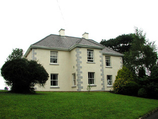 presbytery/parochial/curate's housepresbytery/parochial/curate's house · 1.2 mi
 Saddle HillMountain / peak · 1.5 mi
 Giant's GraveArchaeological place · 1.6 mi
 Ross PointHeadland · 2.3 mi
 Kilroosk RockNamed rock · 3.0 mi
 Dough MountainMountain / peak · 3.2 mi
 Sally IslandIslet · 3.8 mi
 Bilberry IslandIslet · 3.9 mi
Other information
Photo: Credit not shown in the picture search · Rights wording not checked; contact us if this picture should be removed