
What is recorded here
In a fold with exposed karst and rough pasture (dims c. 170m x c. 140m) on an E-facing slope. This is an oval grass-covered area (int. dims 44m NE-SW; 30m NW-SE) defined by a stone spread (Wth 3m; H 0.4m) and a slight external fosse (Wth 2m; D 0.3m). The entrance (Wth 0.6m) is at SE. A drystone-built oval house (int. dims 9.8m NE-SW; 4.4m NW-SE) with an entrance (Wth 0.5m) at S is inside the perimeter at NW and another house site (dims 4.7m NW-SE; 1.6m NE-SW) defined by the base of a wall is inside the perimeter at S with an entrance (Wth 0.6m) at NE.
The above description is derived from 'The Archaeological Inventory of County Leitrim' compiled by Michael J. Moore (Dublin: Stationery Office, 2003). In certain instances the entries have been revised and updated in the light of recent research.
Date of upload: 23 September 2008
A local fairy fort (ringfort/rath); wider significance not recorded.
The monument record does not grant public access. Check the route and ask the landowner before entering private land.
- What survives
- Recorded monument
Places near here
 Fowley's FallsPicnic place · 1.2 mi
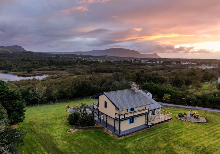 Enclosure in LissiniskaEnclosure · 1.3 mi
 Mass-rock in DerrynahimmirkMass-rock · 1.4 mi
 Church in DerrynahimmirkChurch · 1.4 mi
 Giant's GraveArchaeological place · 1.6 mi
 Agow TopMountain / peak · 1.9 mi
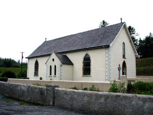 Saint Aidan's Catholic Churchchurch/chapel · 2.1 mi
 Saddle HillMountain / peak · 2.1 mi
 Kilroosk RockNamed rock · 2.3 mi
 Ross PointHeadland · 2.9 mi
 Ashisland WoodForest · 3.5 mi
 Longhill WoodForest · 3.7 mi
Other information
Photo: Credit not shown in the picture search · Rights wording not checked; contact us if this picture should be removed