What is recorded here
At base of a W-facing slope of hill face on wet poorly drained valley in upland region. Natural spring well enclosed by modern sandstone canopy which was constructed recently along with access road from main road. The well has no surviving religious associations. This was classified in the SMR (1992) and the RMP (1997) as a 'Holy well'. Following field inspection there was no evidence to suggest this was a holy well or a well or pre-1700 date. It remains classified as a 'Well' but is not included in the current remit of the ASI.
Compiled by: Jean Farrelly
Date of upload: 26 August 2011
The monument record does not grant public access. Check the route and ask the landowner before entering private land.
- What survives
- Recorded monument
Places near here
 IndicatedEnclosure · 357 yd
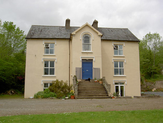 presbytery/parochial/curate's housepresbytery/parochial/curate's house · 473 yd
 CastleCastle, unclassified · 619 yd
 Saint Brigid's Catholic Churchchurch/chapel · 720 yd
 Ballysheeda Castle (in Ruins)Castle, tower house · 918 yd
 Enclosure in Ballysheeda (donohill Par.)Enclosure · 1201 yd
 Green Field ParkWood · 1.3 mi
 Maudemount BogWood · 1.9 mi
 Soloheadbeg Ambushambush · 3.7 mi
 Soloheadbeg Ambush SiteMemorial · 4.4 mi
 LackenacreenaMountain / peak · 5.2 mi
 GortnageraghMountain / peak · 5.4 mi