What is recorded here
In grasssland atop high ground with good views in all directions. Possible outline of levelled bawn to W of tower house (TS053-035001-) shows up on aerial photograph (CUCAP ATA 1967) taken in 1967 and wall return of bawn wall visible on SW face of tower house.
From the National Monuments Service (Archaeological Survey of Ireland) record TS053-035004
Places near here
Photo credits
- Mike Searle, Wikimedia Commons · CC BY-SA 2.0
- National Inventory of Architectural Heritage
- Mike Searle, Geograph · CC BY-SA 2.0
- Steven Brown, Geograph · Creative Commons Attribution-ShareAlike 2.0
- N Chadwick, Geograph · CC BY-SA 2.0
- Neil Theasby, Geograph · CC BY-SA 2.0
- Maker named on the Wikimedia Commons picture page · Public domain
 Synone CastleCastle · 35 yd
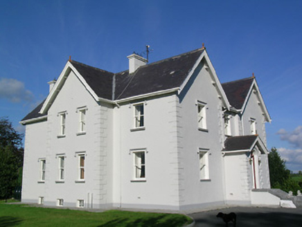 Synone HouseHouse · 863 ydIndicatedFairy fort / earthen ringfort · 1524 yd
 Saint Catherine's Catholic ChapelChurch/chapel · 1.1 mi
 Nodstown CastleCastle, tower house · 1.8 mi
 Grave YardGraveyard · 2.0 miBallyknock HillMountain / peak · 2.5 mi
 Rock of CashelHeritage attraction · 3.5 mi
 Cormac's ChapelHeritage attraction · 3.5 mi
 The Rock Of CashelVisitor information · 3.5 mi
 Black mulberry3.6 miClonoulty HillMountain / peak · 4.9 mi
More castles and forts in County Tipperary · All of County Tipperary

What do you know about this place?Tap to add a comment or ask a question