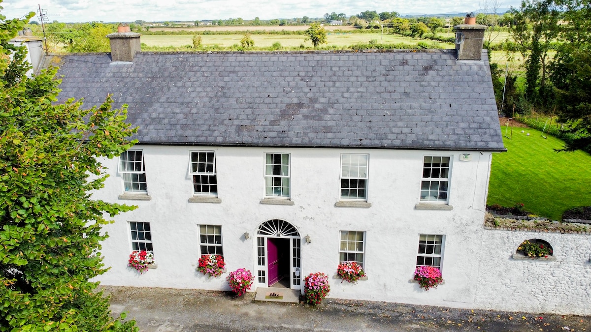
What is recorded here
Three corner bastions still guard the trapezoid, but the southern one vanished beneath a driveway. Taylor mapped a tree-lined avenue cutting the site in 1783, yet those trees have faded into parallel field banks. The wet ground surrounding the rise suggests humans shaped this place to keep water and intrudes at bay.
On a low pasture rise surrounded by lower, poor, wet ground to W, N and E. A very large and fairly well-preserved trapezoidal area (dims. L c. 330m NW-SE; Wth c. 260m along NW side; Wth c. 320m along SE side) is defined by an intermittent, low, inner earthen bank (Wth 1-3m; int H 0.2-0.4m; ext H 1.5-2m), and an outer fosse which is recut as a drain (Wth 2-3m; av. D 1m). The enclosure was defended by D-shaped corner bastions, the straight sides of which back onto the interior (int. diams. 7-10m; straight side L 12-16.5m), three of which survive. The fourth, at the S corner, is shown on the 1st. ed. (1838) of the OS 6-inch map as being partially destroyed by a road, and by the date of the current OS 6-inch map (1939) it was overlain by a driveway. The interior is sub-divided roughly equally into four fields by hedged earthen banks, and the NW-SE bank follows the line of a tree-lined avenue which is indicated on Taylor's 1783 map of County Kildare and which also shows the site as a tree-lined sub-rectangular area. The avenue is still traceable as two parallel field banks to the NW of the site. May have been a plantation bawn. (Cullen and O'Keefe 1996, 215-7).
Compiled by: Gearóid Conroy
Date of upload: 10 June 2011
The monument record does not grant public access. Check the route and ask the landowner before entering private land.
- What survives
- Recorded monument
Places near here
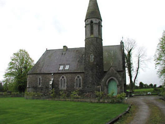 Kilbeg Housechurch/chapel · 996 yd
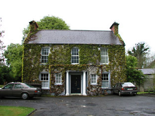 Boycetown Housepresbytery/parochial/curate's house · 1071 yd
 Enclosure in BoycetownEnclosure · 1655 yd
 CrossCross, Market cross · 1735 yd
 Mass was there in Penal TimesMemorial · 1.3 mi
 Kilgar GardensHeritage attraction · 2.3 mi
 Rodanstown fortCastle, motte · 2.4 mi
 European ashEuropean ash · 2.8 mi
 Larchil Arcadian GardensHeritage attraction · 3.3 mi
 Old Bog Road made famous by Teresa Bryton 1868-1943Memorial · 3.3 mi
 CastleCastle, unclassified · 3.4 mi
 The OrchardWood · 4.2 mi
Other information
Photo: Credit not shown in the picture search · Rights wording not checked; contact us if this picture should be removed