
What is recorded here
Bawn in Graigue Upper is a ruined limestone tower and courtyard wall on a slight rise, partly swallowed by Beechwood House after 1741. Daniell Hogan owned it in 1640, and the Civil Survey later called it an old castle with standing walls, a garden plot and one thatched house. A carved window head marked 1594 with the initials OH still lies inside, hinting that the Hogan name reached further back than the survey suggested.
Located on a slight natural rise. In the mid-eighteenth century it became incorporated in 'Beechwood House', forming a T-projection at the rear. Described in the Civil Survey (1654-6) as an 'old castle and bawne the walls onely standing a garden plott and one thatcht house' (Simington 1934, vol. 2, 293). Daniell Hogan is listed as proprietor in 1640 (ibid.). A roughly coursed limestone rectangular tower house (TN015-073001) with good quoins and base-batter. Three storeys survive; higher levels were knocked when the adjoining house was built in 1741 (Craig 1972, 37). The main entrance in the S face has been broken out and provides access from the main house to the tower house. Approximately 20m N of the N face of the tower house are the remains of a bawn wall (max. H 0.7m). The foundations of this wall (T c. 1m) appear to continue E. Stored in the ground-floor of the tower house are a number of architectural fragments which presumably belong to the tower house itself. These include two semi-elliptical window heads, one decorated with incised lines, the other bears a date of 1594, carved in false relief, with the initials OH, one letter on either side of the date.
The above description is derived from 'The Archaeological Inventory of County Tipperary. Vol. 1 - North Tipperary' compiled by Jean Farrelly and Caimin O'Brien (Dublin: Stationery Office, 2002). In certain instances the entries have been revised and updated in the light of recent research.
Date of upload/revision: 22 September 2008
The monument record does not grant public access. Check the route and ask the landowner before entering private land.
- What survives
- Recorded monument
Places near here
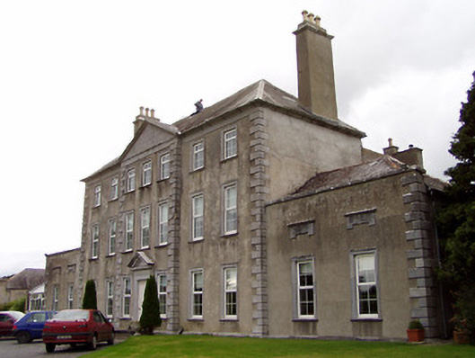 Beechwood Housecountry house · 44 yd
 IndicatedFairy fort / earthen ringfort · 689 yd
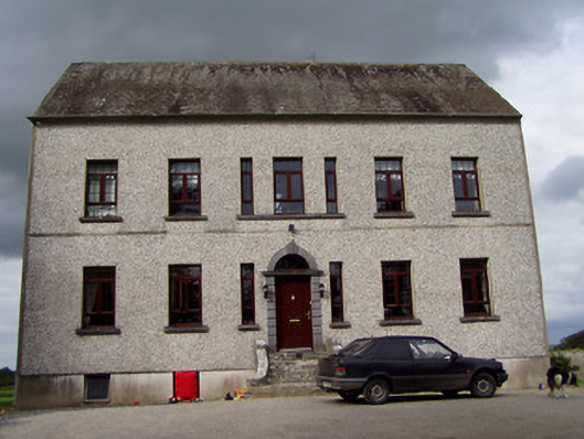 Clermont Housecountry house · 1462 yd
 James Devaney MemorialMemorial · 1.1 mi
 Fulacht fia in Coolderry (ardcrony Par.)Fulacht fia · 1.2 mi
 Ballycapple WoodForest · 1.7 mi
 Site of CastleCastle, unclassified · 1.9 mi
 Castle (in ruins)Castle, tower house · 2.2 mi
 Knigh HillMountain / peak · 3.7 mi
 Old BarracksHeritage attraction · 4.0 mi
 Nenagh Heritage CentreMuseum · 4.2 mi
 MacDonagh HouseMemorial · 4.4 mi
Other information
Photo: Credit not shown in the picture search · Rights wording not checked; contact us if this picture should be removed