
What is recorded here
Down Survey cartographers drew a square bawn around a fortified house in Currycahill during 1655-6, yet no wall or ditch remains visible. A rectangular field measured forty by thirty metres on later maps may preserve the lost outline, while a short section of north boundary wall hints that the enclosure once stood firm. The land swallowed the stones, but the shape survived in the angle of the field and the memory of the boundary.
Associated with a fortified house (LF009-022003-). Depicted as a square enclosure or bawn, surrounding the house, on the Down Survey (1655-6) map of Clonbroney parish (NLI, MS 719). No visible surface trace survives. A rectangular field (c. 40m WNW-ESE; c. 30m NNE-SSW) shown on the 1837 edition of the OS 6-inch map may mirror its outline. Only the N and E sides of this field, which mark the townland boundary, survive. A short section of walling evident on the N side, again, may mirror the line of the bawn wall.
Compiled by: Caimin O'Brien
Date of upload: 20 September 2012
Bawn in Currycahill was a defensive enclosure associated with a fortified house, depicted on the 1655–56 Down Survey map. It is remembered as an example of 17th-century Irish defensive architecture, though no physical remains survive today.
The monument record does not grant public access. Check the route and ask the landowner before entering private land.
- What survives
- Recorded monument
Places near here
 Cultivation ridges in Ballinalee OR SaintjohnstownCultivation ridges · 42 yd
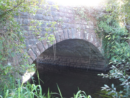 Soran Bridgebridge · 299 yd
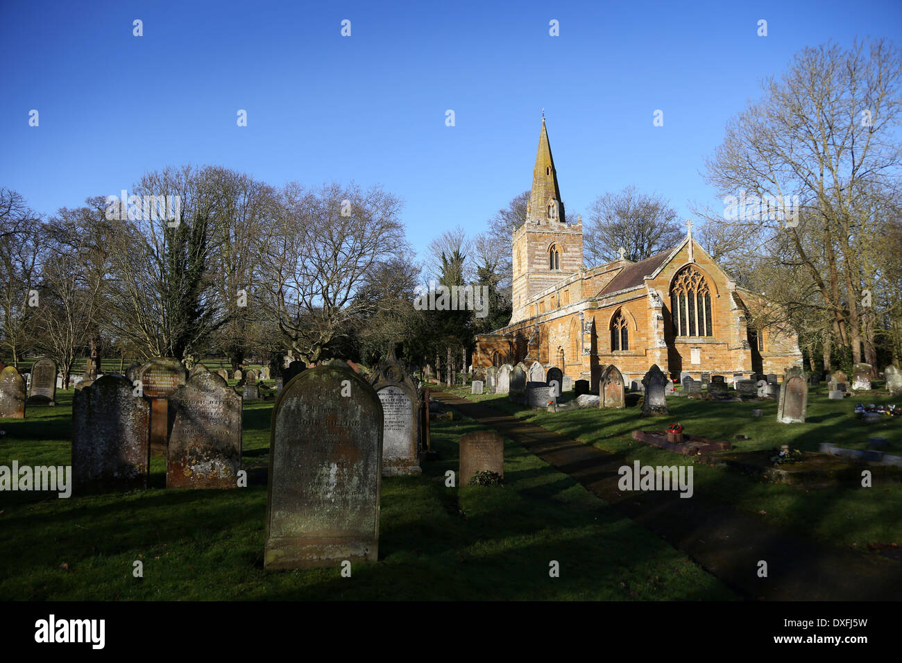 Grave YardBurial ground · 430 yd
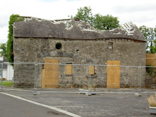 Ballinalee Masonic Hallmasonic lodge/hall · 433 yd
 Bully's Acregraveyard/cemetery, unknown · 462 yd
 Ballinalee Forest WalkForest · 814 yd
 Cloonfin WoodForest · 2.8 mi
 Moat & CastleCastle, motte and bailey · 3.3 mi
 Clonfin Ambush MemorialMemorial · 3.3 mi
 BawnBawn · 3.8 mi
 InchmoreIslet · 5.2 mi
 Granard MotteMotte-and-bailey castle remains · 6.7 mi
Other information
Photo: Credit not shown in the picture search · Rights wording not checked; contact us if this picture should be removed